Cross Peak Trail
Hard · Out-and-back · 11.2 mi round trip · 1,630 ft gain · 4–5½ hr
Parkingnot reported today
A full day with sustained climbing; bring plenty of water.
No hiker reports in the last 3 days. Be the first to report here
At this trail
Dogs on leash No fee or pass
Pack it out.
Official pageOfficial page ›
NoteSpokane County, Liberty Lake Regional Park: about 24.0 miles of trail in the agency's trail data
Noteno lot here, park on the street
Getting there
Starts at Liberty Lake Regional Park Liberty Creek Road Trailhead
Navigate to the trailhead: Google Maps · Apple Maps · coordinates 47.63139, -117.07267
Right now
TodayPM61°
TonightPM40°
ThuAM66°
ThuPM41°
FriAM70°
FriPM47°
SatAM65°1%
SatPM38°1%
Sunny, wind 3 mph · Full forecast ›
Daylight7:05 am 6:02 pm
Air qualityAQI 23 Good
Snow0″ snow at Ragged Mountain (4,210 ft, 25.1 km away)
Typical year: normally snow-free now · usually melted out by about May 10 · typical peak Apr 1
Typical year: normally snow-free now · usually melted out by about May 10 · typical peak Apr 1
Snow levelabout 7,800 ft now · 6,900–8,300 ft over the next three days
Cameras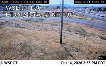
I-90 at MP 296: Liberty Lake (1) · 5 km › 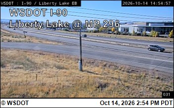
I-90 at MP 296: Liberty Lake (2) · 5 km ›
No reports in the last 3 days.
All conditions and reports at Liberty Lake Regional Park Liberty Creek Road Trailhead
Something wrong on this page? Suggest a correction.