North Scatter Creek Trail
Hard · Out-and-back · 5.4 mi round trip · 2,880 ft gain · 2¾–4 hr
Big viewsRidge or passCampsites
Parkingnot reported today
Steep: about 1,100 ft of climbing per mile. A full day with sustained climbing; bring plenty of water.
No hiker reports in the last 3 days. Be the first to report here
At this trail
Pack it out.
Official pageForest Service › record checked 2026-10-06
RestrictionsMotorized use prohibited on Scatter Creek Trail #1328.
Getting there
Starts at Scatter Creek - Cle Trailhead · 2 other trails start here
Navigate to the trailhead: Google Maps · Apple Maps · coordinates 47.50636, -121.05906
Right now
TodayAM56°
TonightPM34°5%
TueAM57°7%
TuePM40°8%
WedAM61°8%
WedPM40°
ThuAM64°
ThuPM41°
Sunny, wind 6 mph · Full forecast ›
Daylight7:21 am 6:18 pm
Air qualityAQI 8 Good
WildfireKing fire, 15 km away, 3,427 acres, 36% contained
Snow0″ snow at Fish Lake (3,440 ft, 3.8 km away)
Typical year: normally snow-free now · usually melted out by about May 29 · typical peak Mar 28
Typical year: normally snow-free now · usually melted out by about May 29 · typical peak Mar 28
Snow levelabout 5,500 ft now · 4,300–9,200 ft over the next three days
PassStevens Pass US 2 27 km
Eastbound: No restrictions · Westbound: No restrictions · pass report ›
Eastbound: No restrictions · Westbound: No restrictions · pass report ›
Cameras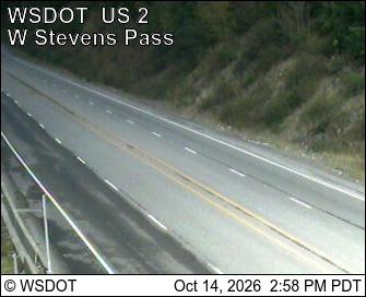
US 2 at MP 61.9: Old Faithful Avalanche Zone · 26 km › 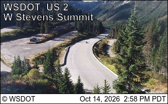
US 2 at MP 64.3: West Stevens Pass - Ski Lodge · 27 km ›
No reports in the last 3 days.
All conditions and reports at Scatter Creek - Cle Trailhead
Something wrong on this page? Suggest a correction.