Wildcat Trail
Hard · Out-and-back · 7.8 mi round trip · 1,120 ft gain · 2¾–4 hr
Campsites
Parkingnot reported today
A full day with sustained climbing; bring plenty of water.
No hiker reports in the last 3 days. Be the first to report here
At this trail
Dogs on leash Discover Pass
Pack it out.
Official pageDNR ›
NoteWashington DNR, Green Mountain State Forest: about 43.9 miles of trail in the agency's trail data
Noteno lot here, park on the street
Getting there
Starts at Green Mountain State Forest Trailhead · 1 other trail starts here
Navigate to the trailhead: Google Maps · Apple Maps · coordinates 47.58018, -122.79298
Right now
Daylight7:30 am 6:23 pm
Air qualityAQI 22 Good
WildfireLittle Bear fire, 54 km away
Snow0″ snow at Mount Crag (3,960 ft, 26.8 km away)
Typical year: usually melted out by about Jun 5 · typical peak Apr 9
Typical year: usually melted out by about Jun 5 · typical peak Apr 9
Cameras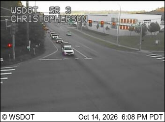
SR 3 at MP 34.2: Christopherson · 9 km › 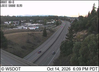
SR 3 at MP 37.3: Loxie Eagans Blvd · 9 km ›
No reports in the last 3 days.
All conditions and reports at Green Mountain State Forest Trailhead
Something wrong on this page? Suggest a correction.