Larch Mountain Trail
Hard · Out-and-back · 9.8 mi round trip · 2,274 ft gain · 3¾–5¼ hr
Summit or lookout
Parkingnot reported today
A full day with sustained climbing; bring plenty of water.
No hiker reports in the last 3 days. Be the first to report here
At this trail
Getting there
Starts at Yacolt Burn Trailhead · 2 other trails start here
Navigate to the trailhead: Google Maps · Apple Maps · coordinates 45.75204, -122.32714
Right now
TonightPM42°2%
TueAM60°6%
TuePM47°4%
WedAM66°
WedPM50°
ThuAM73°
ThuPM53°
FriAM76°
Mostly Clear, wind 1 mph · Full forecast ›
Daylight7:26 am 6:24 pm
Air qualityAQI 14 Good
WildfireHigh Lava fire, 22 km away, 2,899 acres, 95% contained
Snow0″ snow at Calamity (2,510 ft, 18.9 km away)
Typical year: normally snow-free now · usually melted out by about Apr 3 · typical peak Mar 8
Typical year: normally snow-free now · usually melted out by about Apr 3 · typical peak Mar 8
Snow levelabout 4,900 ft now · 4,900–9,700 ft over the next three days
Cameras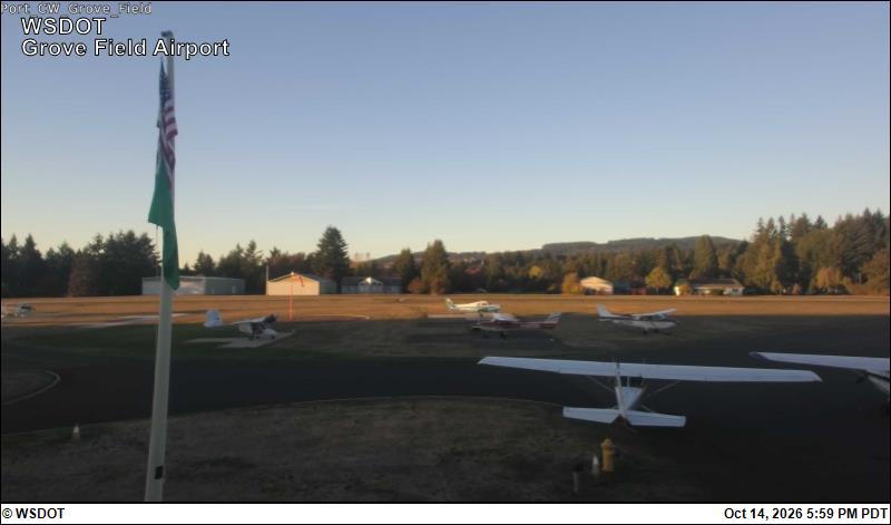
Grove Field Airport · 15 km › 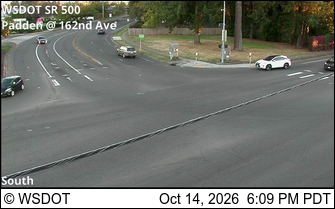
SR 500 at MP 9.2: Padden/162nd Ave · 16 km ›
No reports in the last 3 days.
All conditions and reports at Yacolt Burn Trailhead
Something wrong on this page? Suggest a correction.