Dash Point State Park
Easy · Out-and-back · 3.2 mi round trip · 218 ft gain · 1–1½ hr
Campsites
Parkingnot reported today
Good for families, first hikes and short outings.
No hiker reports in the last 3 days. Be the first to report here
At this trail
Getting there
Starts at Trailhead Parking: Dash Point State Park Trailhead
Navigate to the trailhead: Google Maps · Apple Maps · coordinates 47.31187, -122.39235
Right now
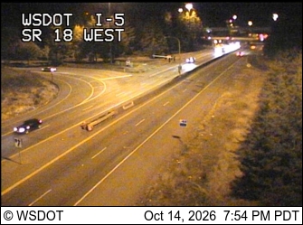
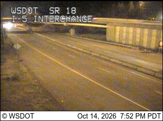
⚠ The Seatac Rest Area is closed until further notice for routine maintenance.WSDOT · 7 km · Oct 12 · details ›
⚠ Until further notice, SR 161 is reduced to one lane in each direction between 36th Street East and Dechaux Road East on North Hill due to slide activity. TravelWSDOT · 13 km · Mar 20 · details ›
Burn Ban Level 2Wood fires restricted to fire pits in designated areas. Gas and propane allowed. Charcoal may be restricted.Washington State Parks · Aug 2 · details ›
TonightPM41°
TodayAM64°
MonPM43°1%
TueAM64°
TuePM49°3%
WedAM66°3%
WedPM50°
ThuAM71°
Clear, wind 1 mph · Full forecast ›
No reports in the last 3 days.
All conditions and reports at Trailhead Parking: Dash Point State Park Trailhead
Something wrong on this page? Suggest a correction.