FeeSingle Site : $24 Double Site : $45 Extra vehicles : $8 (second vehicle for single sites, third and fourth vehicles for double sites). Extra
Noteopen Early June to Mid-September
RestrictionsCampground is available for use only by recreationists accompanied by stock, ie: horses, mules, goats, or llamas. Corrals are assigned to in
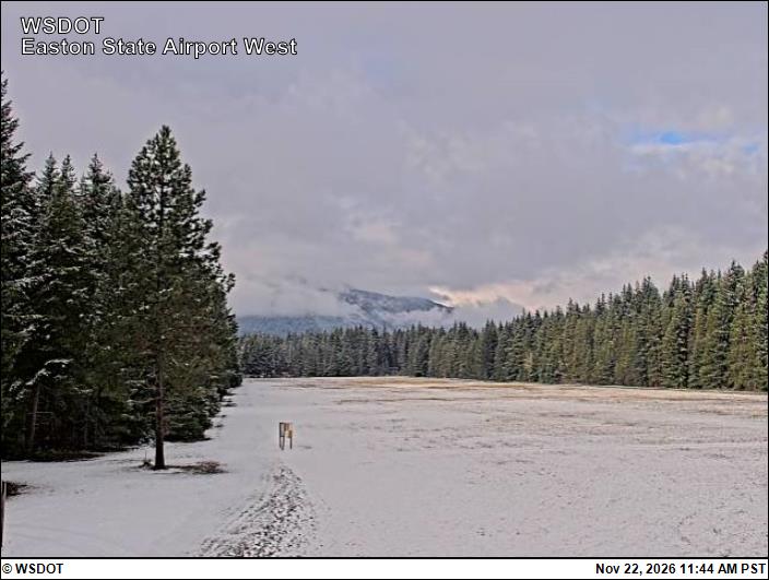
Snow6″ snow at Sasse Ridge (4,340 ft, 2.7 km away) Typical year: snowpack 26% of normal for the date · usually melted out by about Jun 1 · typical peak Apr 7
Snow levelabout 1,900 ft now · 1,800–3,900 ft over the next three days · 2″ of new snow forecast in 48 h
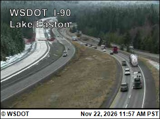
PassSnoqualmie Pass I-9024 km Eastbound: No restrictions · Westbound: No restrictions · Bare and dry, wet in places · 31°F · pass report ›
Cameras
Easton Airport · 18 km ›I-90 at MP 69.78: Lake Easton · 18 km ›
No reports in the last 3 days.
Trail updates are public. The summary uses the last 6 hours (trail state the last 3 days); older reports stay in the history so seasons can be compared. Times are Pacific. Something wrong on this page? Suggest a correction.