← All trailheads · Stevens Pass / US-2
Necklace Valley Trailhead
2 trails start here · Stevens Pass / US-2
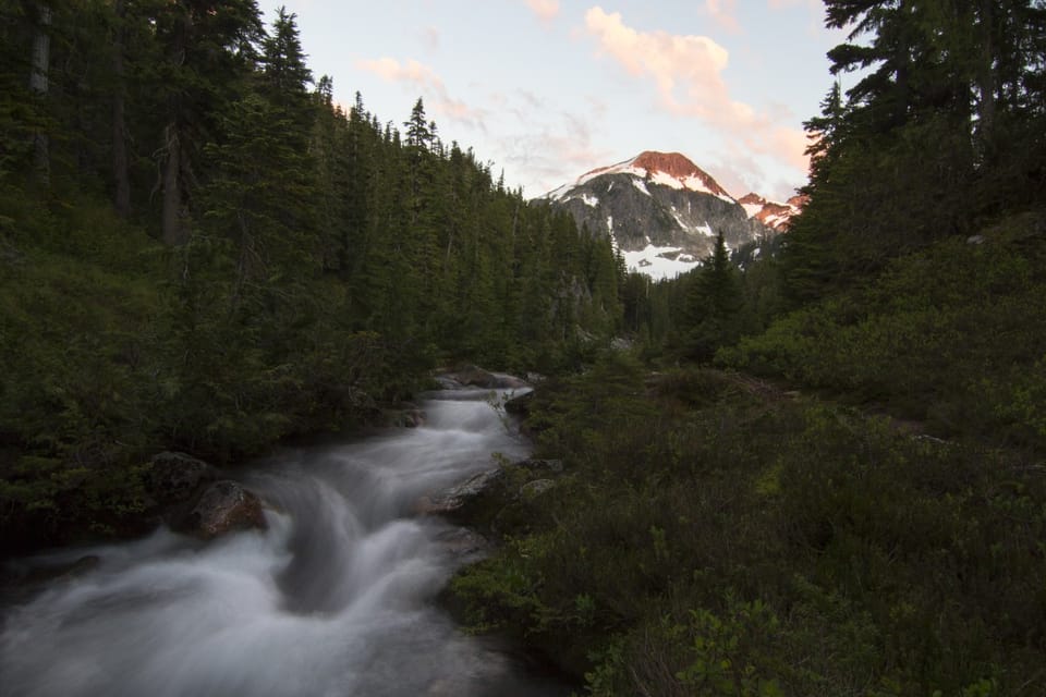
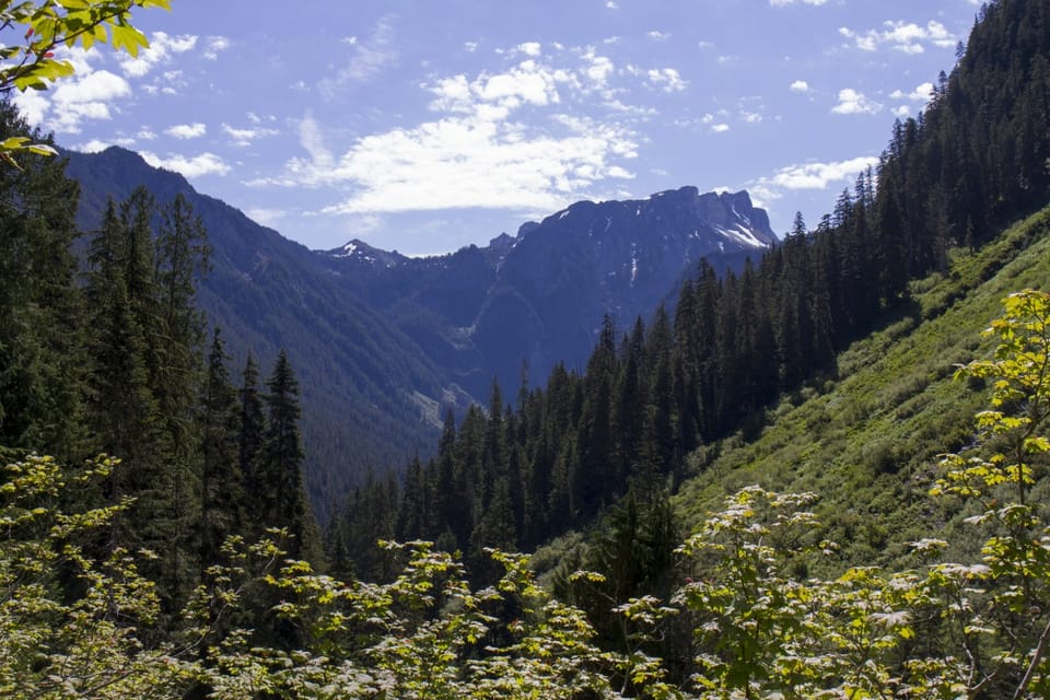
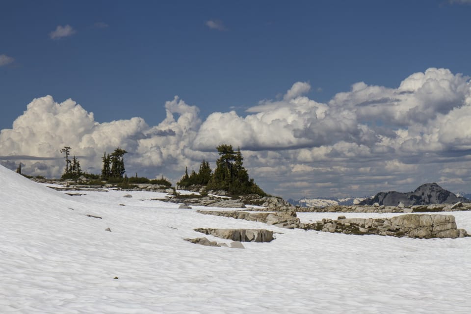
Photos: Forest Service photo · Public domain
No hiker reports in the last 3 days. Be the first to report here
Open in the app (live map, alerts, offline maps)
At this trailhead
Dogs allowed Northwest Forest Pass Toilets (vault)
Pack it out.
Stevens Pass and US-2, Mt. Baker-Snoqualmie National Forest U.S. Forest Service
Rules, passes and closures change. Check the official Forest Service site before you go.
Getting there
Navigate to: Google Maps · Apple Maps · coordinates 47.66479, -121.28816
Trails from this trailhead
- Necklace Valley Foss Lakes Loop · Point-to-point · 22.6 mi · 6,486 ft gain · 9¼–13 hr · Strenuous
- Necklace Valley Trail · Out-and-back · 9.8 mi one way · 4,425 ft gain · 7½–10½ hr · Strenuous
Right now
Partly Sunny, wind 3 mph · Full forecast ›
Typical year: snowpack 3% of normal for the date · usually melted out by about Jun 6 · typical peak Mar 30
Eastbound: Traction Tires Advised, Oversize Vehicles Prohibited. · Westbound: Traction Tires Advised, Oversize Vehicles Prohibited. · Snow slush and ice in places · 32°F · pass report ›
No reports in the last 3 days.
Trail updates are public. The summary uses the last 6 hours (trail state the last 3 days); older reports stay in the history so seasons can be compared. Times are Pacific. Something wrong on this page? Suggest a correction.