⚠ I-90 Exit 154/Adams Rd. overpass (east of George): the overpass is closed due to a hole in the bridge deck. There is currently no estimated time to reopen. TrafWSDOT · 16 km · Mar 5 · details ›
TodayAM41°6%
TonightPM30°18%
MonAM40°18%
MonPM31°9%
TueAM41°54%
TuePM32°54%
WedAM45°24%
WedPM35°75%
Partly Sunny then Areas Of Fog, wind 1 mph · Full forecast ›
Daylight7:13 am4:18 pm
Snow6″ snow at Trough (5,480 ft, 25.1 km away) Typical year: snowpack 117% of normal for the date · usually melted out by about May 10 · typical peak Mar 30
Snow levelabout 1,800 ft now · 1,300–4,100 ft over the next three days
Cameras
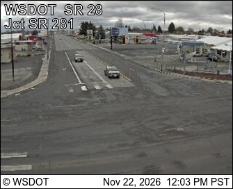
SR 28 at MP 25: Quincy Rest Area · 8 km ›SR 28 Junction SR 281 at MP 29.77 · 13 km ›
No reports in the last 3 days.
Trail updates are public. The summary uses the last 6 hours (trail state the last 3 days); older reports stay in the history so seasons can be compared. Times are Pacific. Something wrong on this page? Suggest a correction.