Washington Trail Conditions

← All trailheads · Southeast / Blue Mountains

Candy Mountain Trailhead

Trailhead · Southeast / Blue Mountains

EF
Parkingnot reported today

No hiker reports in the last 3 days. Be the first to report here

Open in the app (live map, alerts, offline maps)

At this trailhead

Dogs on leash No fee or pass Toilets

Pack it out.

Getting there

Navigate to: Google Maps · Apple Maps · coordinates 46.24708, -119.34845

Right now

Post an update here

TodayAM39°29%
TonightPM28°32%
MonAM37°34%
MonPM28°5%
TueAM38°35%
TuePM32°35%
WedAM43°14%
WedPM35°51%

Patchy Fog, wind 3 mph · Full forecast ›

Daylight7:08 am 4:18 pm
Air qualityAQI 49 Good
Snow levelabout 1,600 ft now · 1,500–5,400 ft over the next three days
Cameras
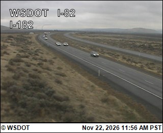
I-82 at MP 102.5: I-182 Interchange
I-82 at MP 102.5: I-182 Interchange · 2 km ›
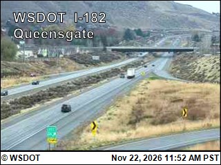
I-182 at MP 2.38: Queensgate Avenue
I-182 at MP 2.38: Queensgate Avenue · 4 km ›

No reports in the last 3 days.

Trail updates are public. The summary uses the last 6 hours (trail state the last 3 days); older reports stay in the history so seasons can be compared. Times are Pacific. Something wrong on this page? Suggest a correction.