WildfireSignal Peak fire, 30 km away, 3,000 acres, 100% contained
Snow levelabout 1,600 ft now · 1,500–4,100 ft over the next three days · 0.5″ of new snow forecast in 48 h
PassManastash Ridge I-8233 km Eastbound: No restrictions · Westbound: No restrictions · Bare and wet with slush in places. · 32°F · pass report ›
Cameras
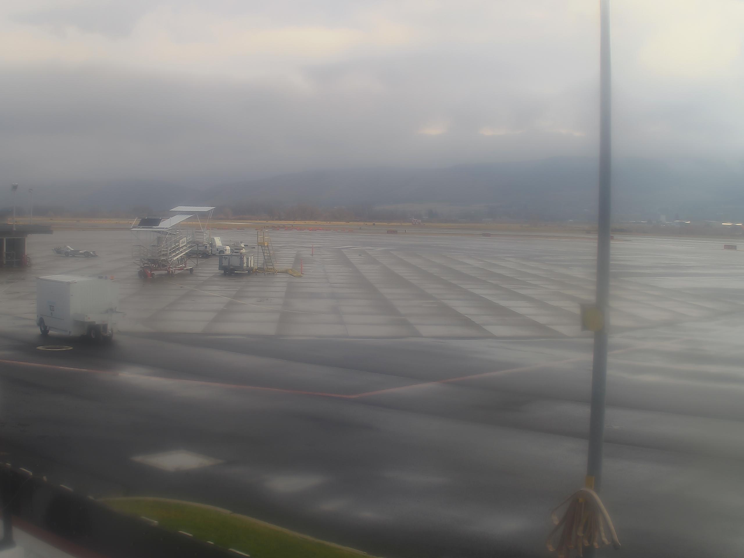
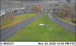
Yakima Air Terminal/McAllister Field · 12 km ›I-82 at MP 31.28: US 12 Interchange @ N. Yakima · 12 km ›
No reports in the last 3 days.
Trail updates are public. The summary uses the last 6 hours (trail state the last 3 days); older reports stay in the history so seasons can be compared. Times are Pacific. Something wrong on this page? Suggest a correction.