Rain And Snow Likely then Mostly Cloudy, wind 5 to 10 mph · Full forecast ›
Daylight7:17 am4:31 pm
Air qualityAQI 16 Good
Snow2″ snow at North Fork (3,070 ft, 11.5 km away) Typical year: snowpack 0% of normal for the date · usually melted out by about May 14 · typical peak Mar 22
Snow levelabout 2,100 ft now · 2,100–5,900 ft over the next three days
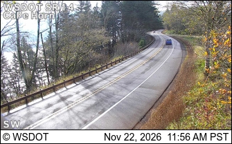
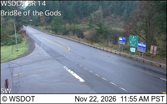
Cameras
SR 14 at MP 23.9: CapeHorn · 12 km ›SR 14 at MP 41.5: Bridge of the Gods · 14 km ›
No reports in the last 3 days.
Trail updates are public. The summary uses the last 6 hours (trail state the last 3 days); older reports stay in the history so seasons can be compared. Times are Pacific. Something wrong on this page? Suggest a correction.