ℹ Tenas Creek Road Washout ClosureCLOSURE AREA DESCRIPTION:Forest System Road #2660 (Tenas Creek Road) from mile post 4 continuing east to its terminus at the Boulder Lake Trailhead within T33N, R11E, Sections 21, 22, 2, and 26 (see Exhibit A).Forest Service · Nov 5 · details ›
Snow1″ snow at Alpine Meadows (3,500 ft, 22.5 km away) Typical year: snowpack 6% of normal for the date · usually melted out by about Jun 28 · typical peak Apr 19
Snow levelabout 2,000 ft now · 1,900–5,600 ft over the next three days · 0.5″ of new snow forecast in 48 h
Cameras
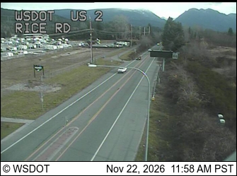
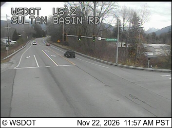
US 2 at MP 24.2: Rice Rd · 17 km ›US 2 at MP 23.2: Sultan Basin Rd · 18 km ›
No reports in the last 3 days.
Trail updates are public. The summary uses the last 6 hours (trail state the last 3 days); older reports stay in the history so seasons can be compared. Times are Pacific. Something wrong on this page? Suggest a correction.