← All trailheads · Puget Sound lowlands
Milo Curry Trailhead
2 trails start here · Puget Sound lowlands
Parkingnot reported today
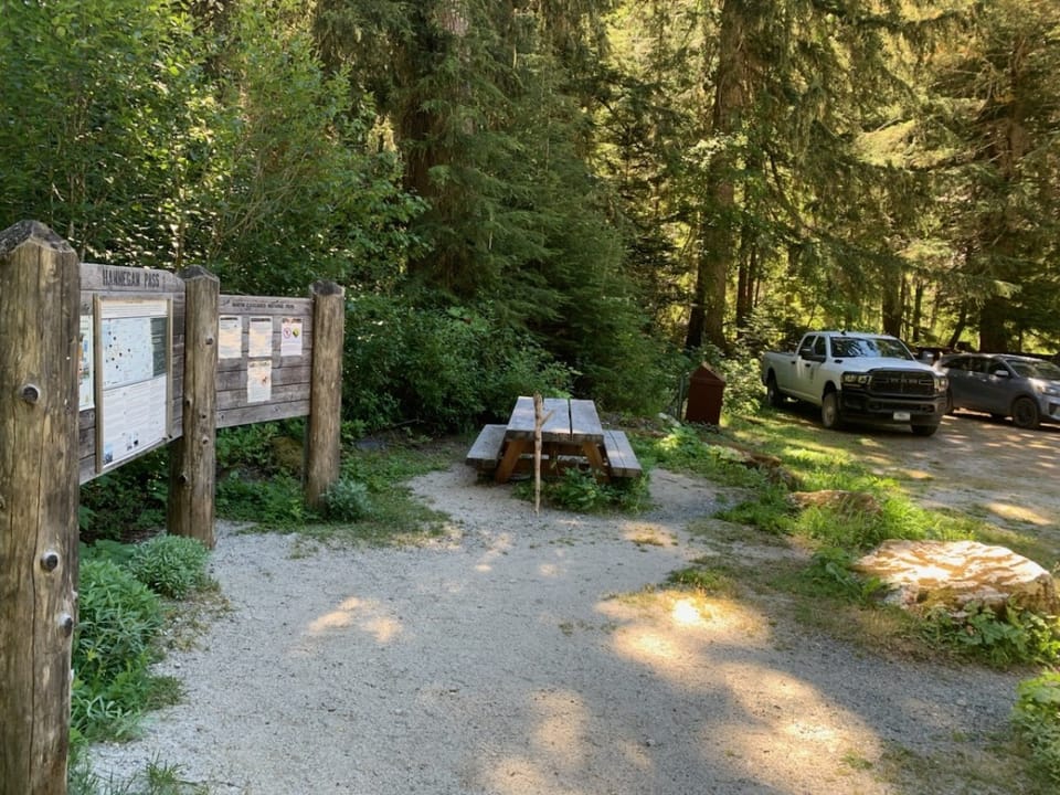
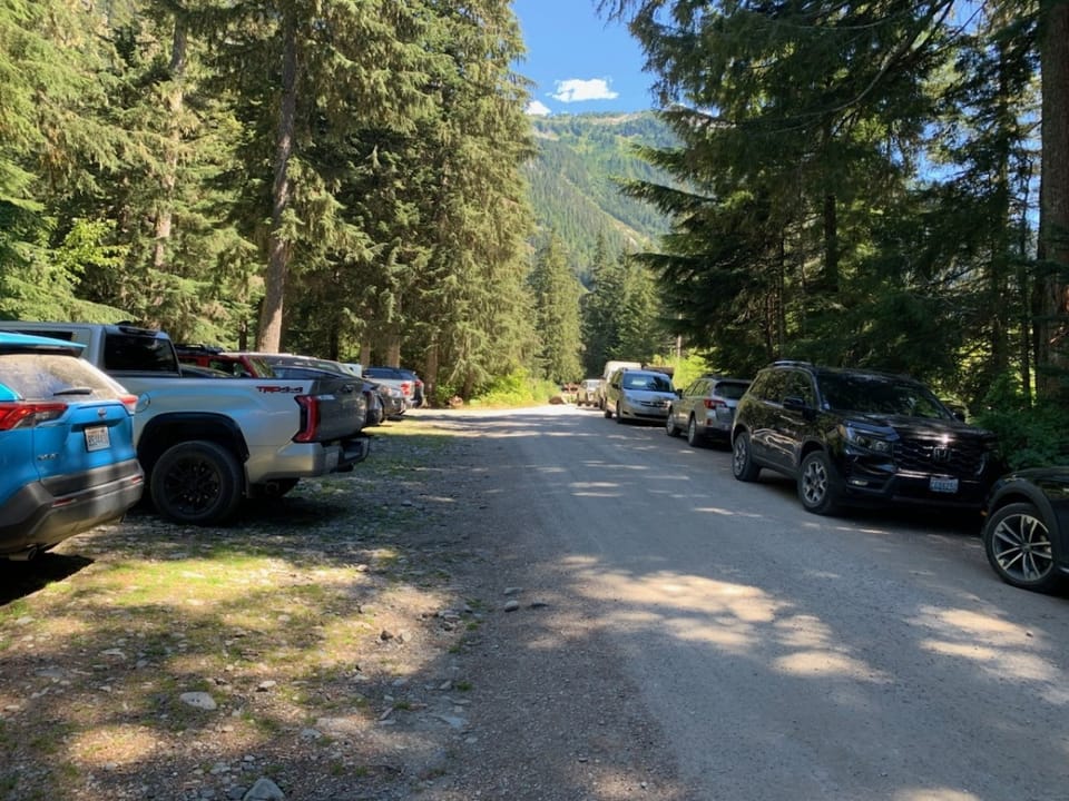
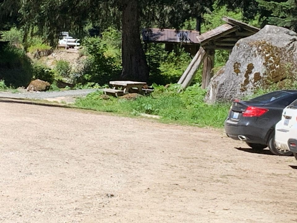
Photos: Forest Service photo · Public domain; Forest Service / Magenta Widner · Public domain
No hiker reports in the last 3 days. Be the first to report here
Open in the app (live map, alerts, offline maps)
At this trailhead
Dogs on leash No fee or pass
Pack it out.
Getting there
Navigate to: Google Maps · Apple Maps · coordinates 48.05069, -122.82776
Trails from this trailhead
- Olympic Discovery Trail · Long-distance route · 132.3 mi
- Pacific Northwest Trail 03 Washington · Part of the Pacific Northwest Trail · 914.2 mi
Right now
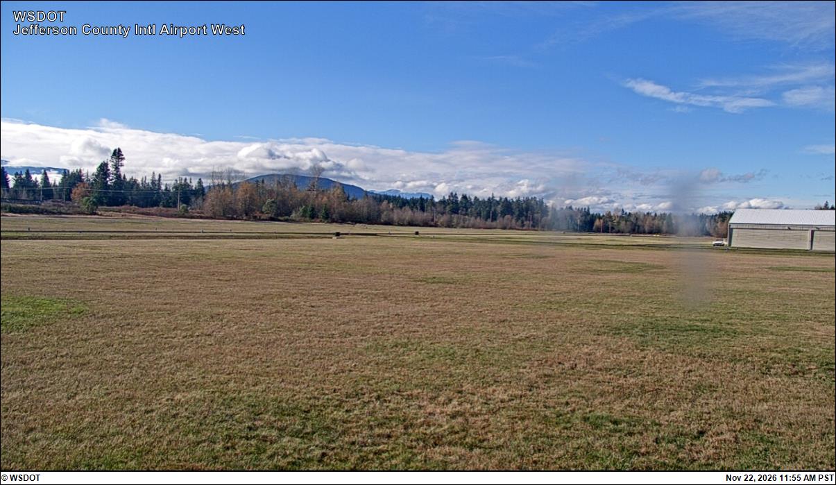
⚠ SR 116 is closed to all travelers between Shotwell Place and Chimacum Creek Drive. The road will be closed until sometime in November. WSDOT will share an updatWSDOT · 4 km · Nov 9 · details ›
TodayAM48°12%
TonightPM37°47%
MonAM49°64%
MonPM41°64%
TueAM50°82%
TuePM43°82%
WedAM53°66%
WedPM45°87%
Partly Sunny, wind 13 to 17 mph · Full forecast ›
Daylight7:28 am 4:26 pm
Air qualityAQI 16 Good
Snow4″ snow at Dungeness (3,990 ft, 27.3 km away)
Typical year: snowpack 180% of normal for the date · usually melted out by about Apr 30 · typical peak Mar 15
Snow levelabout 2,500 ft now · 2,500–5,500 ft over the next three days
No reports in the last 3 days.
Trail updates are public. The summary uses the last 6 hours (trail state the last 3 days); older reports stay in the history so seasons can be compared. Times are Pacific. Something wrong on this page? Suggest a correction.