← All trailheads · Mount Rainier
Noble Knob Trailhead
7 trails start here · Mount Rainier
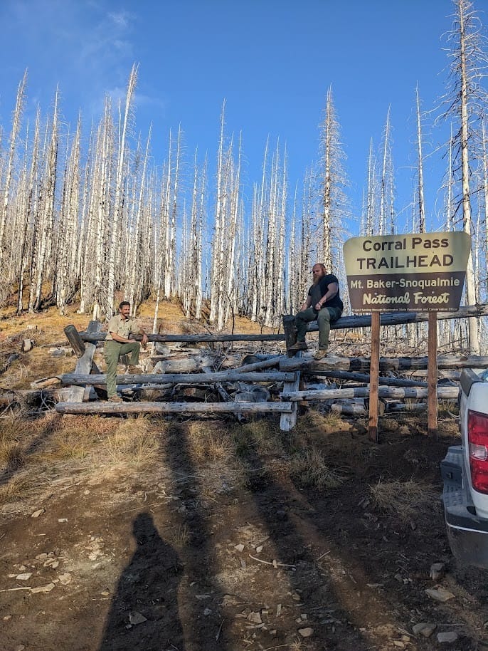
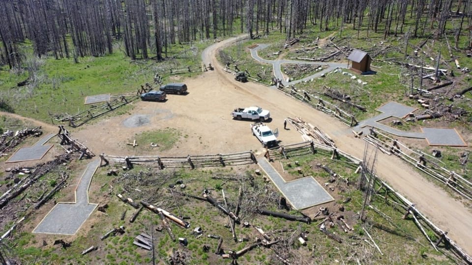
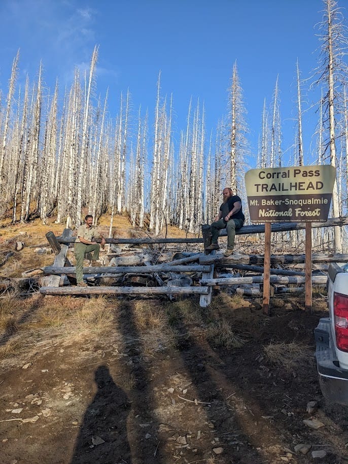
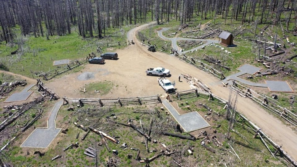
Photos: Forest Service / Alex Ross · Public domain; Forest Service photo · Public domain
No hiker reports in the last 3 days. Be the first to report here
Open in the app (live map, alerts, offline maps)
At this trailhead
Dogs allowed Northwest Forest Pass
Pack it out.
I-90, Middle Fork and Highway 410, Mt. Baker-Snoqualmie National Forest U.S. Forest Service
Rules, passes and closures change. Check the official Forest Service site before you go.
Getting there
Navigate to: Google Maps · Apple Maps · coordinates 47.01480, -121.46693
Trails from this trailhead
- Arch Rock Trail · Out-and-back · 7.6 mi one way · 2,200 ft gain · 6–8½ hr · Strenuous
- Castle Mountain Trail · Out-and-back · 6.5 mi one way · 2,420 ft gain · 5¾–8 hr · Strenuous
- Greenwater Lakes Trail · Point-to-point · 11.8 mi · 3,431 ft gain · 4¾–6¾ hr · Strenuous
- Lost Lake Trail · Out-and-back · 7.9 mi one way · 2,930 ft gain · 5¾–8¼ hr · Strenuous
- Noble Knob Trail · Out-and-back · 7.6 mi one way · 1,566 ft gain · 5¼–7¼ hr · Strenuous
- Rainier View Trail · Out-and-back · 1.6 mi one way · 603 ft gain · 1¼–1¾ hr · Easy
- Tin Shack Tie-Through · Out-and-back · 4.2 mi one way · 1,883 ft gain · 3¾–5¼ hr · Hard
Right now
Slight Chance Light Snow then Partly Sunny, wind 3 to 10 mph · Full forecast ›
Typical year: snowpack 21% of normal for the date · usually melted out by about Jul 3 · typical peak Apr 25
Eastbound: Traction Tires Advised, Oversize Vehicles Prohibited. · Westbound: Traction Tires Advised, Oversize Vehicles Prohibited. · Bare and Wet. · 38°F · pass report ›
No reports in the last 3 days.
Trail updates are public. The summary uses the last 6 hours (trail state the last 3 days); older reports stay in the history so seasons can be compared. Times are Pacific. Something wrong on this page? Suggest a correction.