⚠ The SR 536 Skagit River/Division Street Bridge will remain closed in both directions until a painting and preservation project finishes construction. The bridgeWSDOT · 11 km · Nov 20 · details ›
Snow levelabout 2,500 ft now · 2,500–5,500 ft over the next three days
Cameras
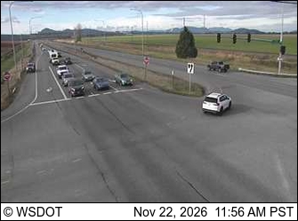
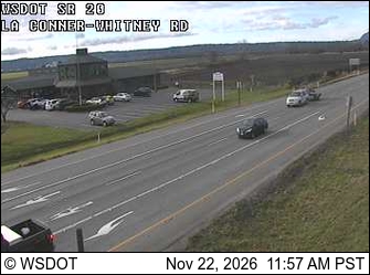
SR 20 at MP 54.5: Best Rd / Farm to Market Rd · 10 km ›SR 20 at MP 53.2: La Conner-Whitney Rd · 10 km ›
No reports in the last 3 days.
Trail updates are public. The summary uses the last 6 hours (trail state the last 3 days); older reports stay in the history so seasons can be compared. Times are Pacific. Something wrong on this page? Suggest a correction.