Fire RestrictionsThere are no current fire restrictions on the Gifford Pinchot National Forest. Even with lower fire risk please continue to practice safe fire habits: never leave a campfire unattended and make sure it is completely…Forest Service · Sep 18 · details ›
TodayAM35°69%
TonightPM30°40%
MonAM33°72%
MonPM31°39%
TueAM35°81%
TuePM34°81%
WedAM39°72%
WedPM38°93%
Light Snow Likely then Mostly Cloudy, wind 5 to 8 mph · Full forecast ›
Daylight7:17 am4:31 pm
Air qualityAQI 17 Good
Snow0″ snow at Calamity (2,510 ft, 21.8 km away) Typical year: normally snow-free now · usually melted out by about Apr 3 · typical peak Mar 8
Snow levelabout 1,900 ft now · 1,900–5,700 ft over the next three days · 2″ of new snow forecast in 48 h
Cameras
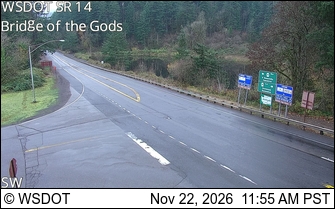
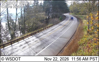
SR 14 at MP 41.5: Bridge of the Gods · 14 km ›SR 14 at MP 23.9: CapeHorn · 24 km ›
No reports in the last 3 days.
Trail updates are public. The summary uses the last 6 hours (trail state the last 3 days); older reports stay in the history so seasons can be compared. Times are Pacific. Something wrong on this page? Suggest a correction.