⚠ Paradise Road Status: Early Morning UpdateThe road is open to Longmire and the gate at Longmire to Paradise is expected to open at 10:00 a.m. All vehicles, including 4WD and AWD, must carry tire chains and be ready to use them. The gate at Longmire to Paradise…National Park Service · Nov 22 · details ›
⚠ Beginning 10 a.m. Wednesday, Nov. 17, State Route 123/Cayuse Pass is closed from State Route 410 (milepost 16) to south of Stevens Canyon Road (milepost 2) for WSDOT · 17 km · Nov 18 · details ›
WILDFIRE CLOSURES: Sunrise & northern trails.Due to several active fires on the north side of the park, the following closures are in effect until further notice: Grand Park area & trails, Northern Loop Trail, Wonderland Trail from Carbon River Suspension Bridge…National Park Service · Nov 3 · details ›
TodayAM26°20%
TonightPM21°44%
MonAM29°89%
MonPM26°59%
TueAM33°83%
TuePM31°83%
WedAM35°71%
WedPM33°96%
Slight Chance Light Snow then Mostly Cloudy, wind 2 mph · Full forecast ›
Daylight7:19 am4:26 pm
Air qualityAQI 41 Good
WildfireBackbone fire, 11 km away, 17 acres, 100% contained
Snow3″ snow at Paradise (5,150 ft, 3.4 km away) Typical year: snowpack 13% of normal for the date · usually melted out by about Jul 15 · typical peak May 4
Snow levelabout 2,700 ft now · 2,200–5,400 ft over the next three days · 3.5″ of new snow forecast in 48 h
Winter roadStevens Canyon Road closes for the winter in late October (scheduled October 26 in 2026) and reopens in late spring or early summer. Mount Rainier National Park ›
PassCayuse Pass SR 12317 km Eastbound: Closed for the season · Westbound: Closed for the season · SR 123 Cayuse Pass is closed for the season. For outdoor recreational information visit the Mount Rainier National Park road status page: https://www.nps.gov/mora/planyourvisit/road-status.htm · 36°F · pass report ›
Cameras
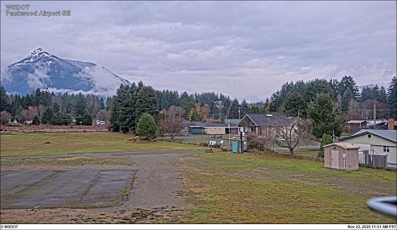
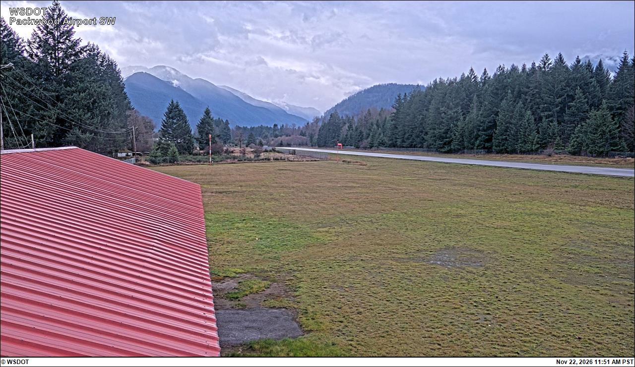
Packwood Airport South · 18 km ›Packwood Airport Southwest · 18 km ›
No reports in the last 3 days.
Trail updates are public. The summary uses the last 6 hours (trail state the last 3 days); older reports stay in the history so seasons can be compared. Times are Pacific. Something wrong on this page? Suggest a correction.
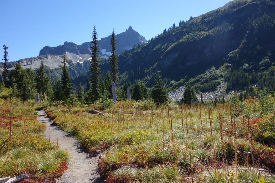
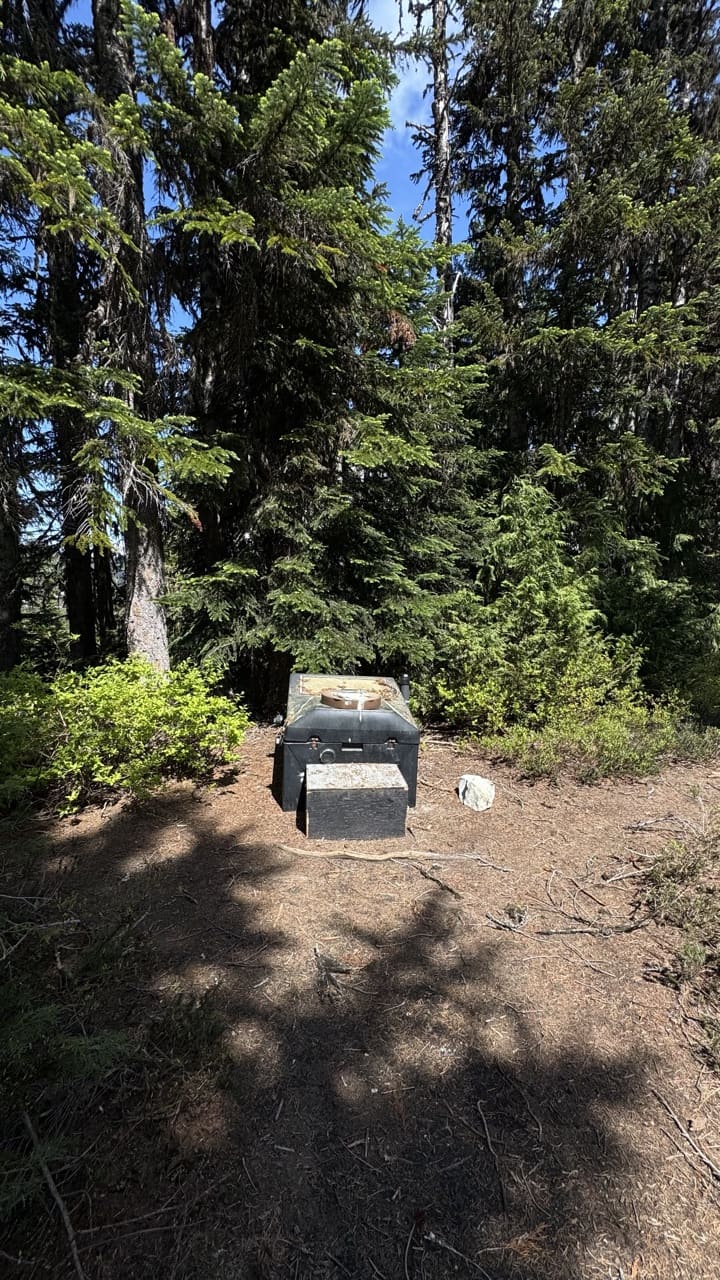 Photo: Jesse (site owner)
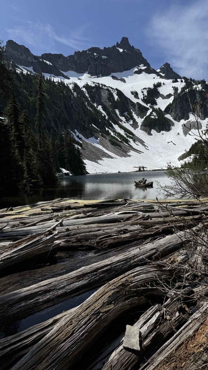 Photo: Jesse (site owner)
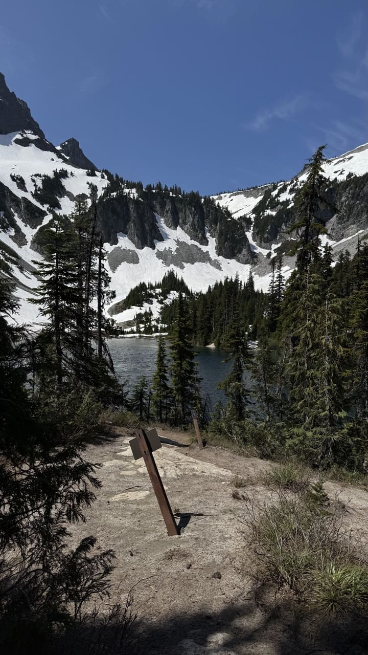 Photo: Jesse (site owner)
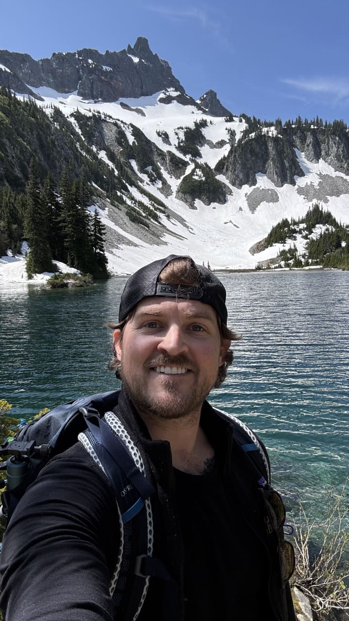 Photo: Jesse (site owner)
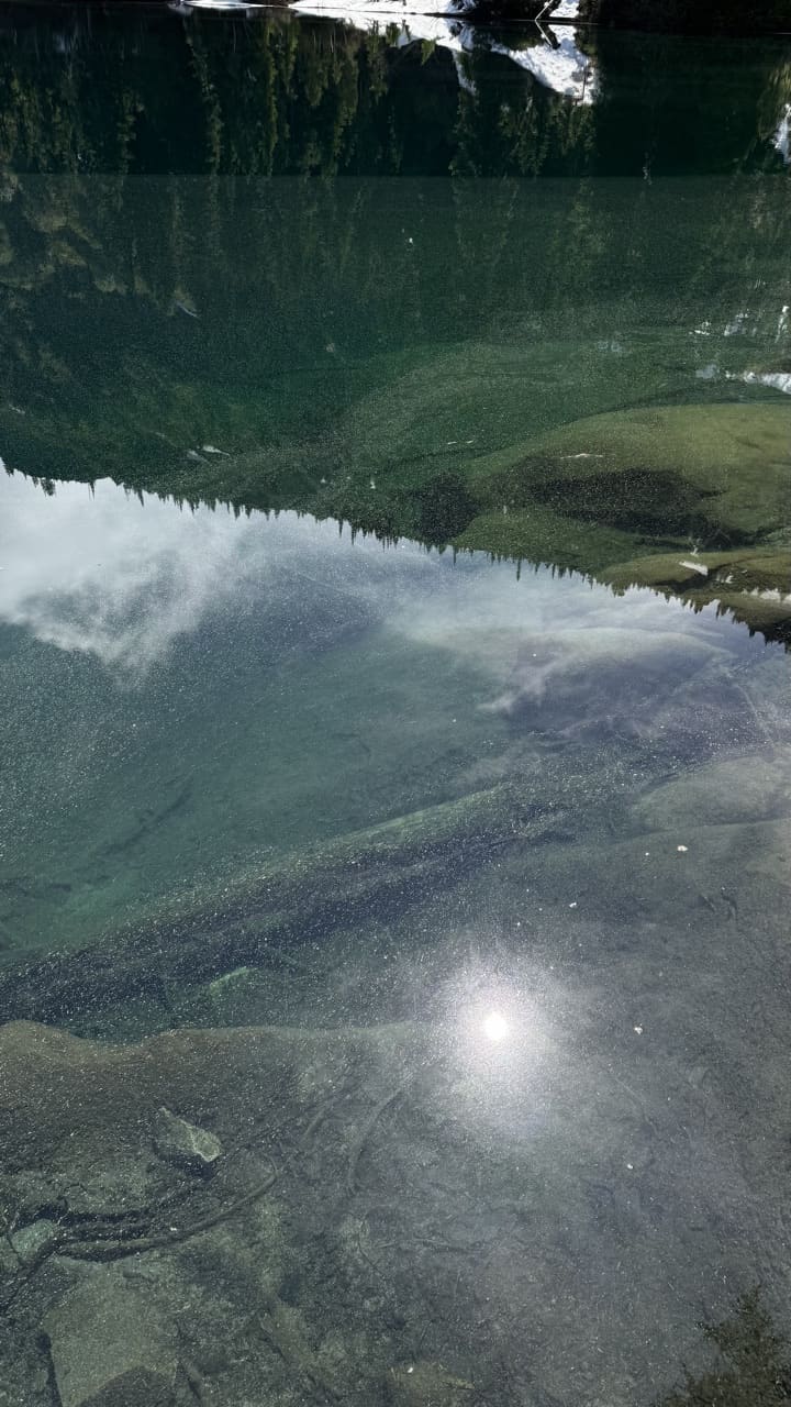 Photo: Jesse (site owner)