⚠ The SR 536 Skagit River/Division Street Bridge will remain closed in both directions until a painting and preservation project finishes construction. The bridgeWSDOT · 19 km · Nov 20 · details ›
TodayAM48°18%
TonightPM41°37%
MonAM50°54%
MonPM44°63%
TueAM51°69%
TuePM47°64%
WedAM55°57%
WedPM49°94%
Slight Chance Light Rain then Partly Sunny, wind 9 to 15 mph · Full forecast ›
Daylight7:27 am4:24 pm
Air qualityAQI 11 Good
Snow levelabout 2,500 ft now · 2,500–5,500 ft over the next three days
Cameras
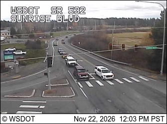
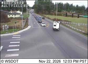
SR 532 at MP 0: Sunrise Blvd · 8 km ›SR 20 at MP 34.7: Ault Field Rd · 9 km ›
No reports in the last 3 days.
Trail updates are public. The summary uses the last 6 hours (trail state the last 3 days); older reports stay in the history so seasons can be compared. Times are Pacific. Something wrong on this page? Suggest a correction.