← All trailheads · Mountain Loop / Darrington
Suiattle River / Sulphur Mtn Trailhead
6 trails start here · Mountain Loop / Darrington
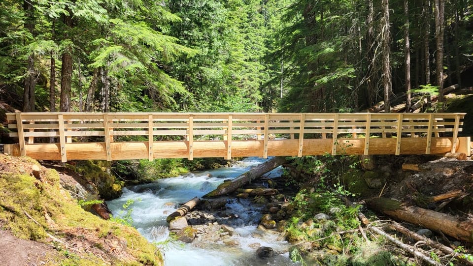
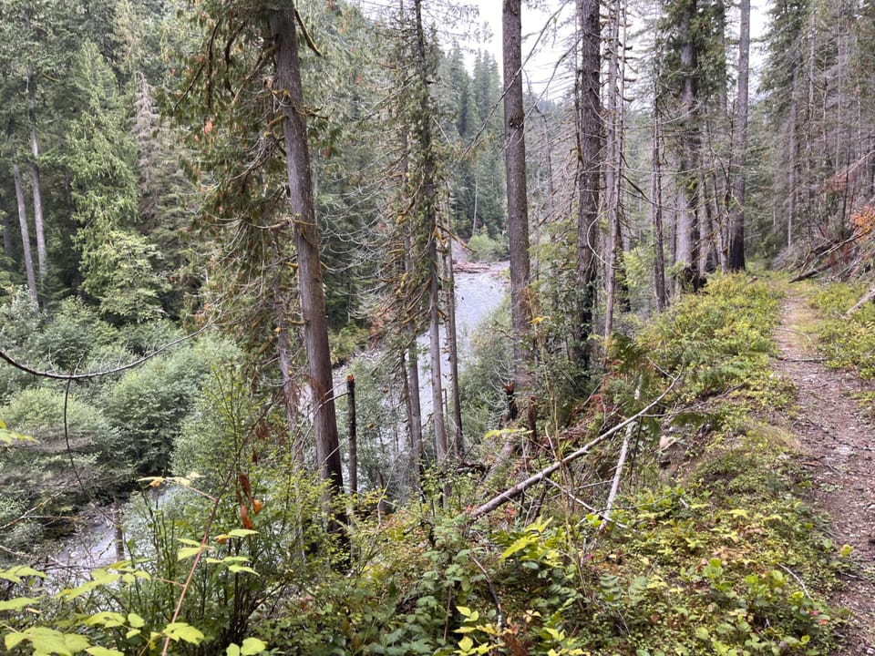
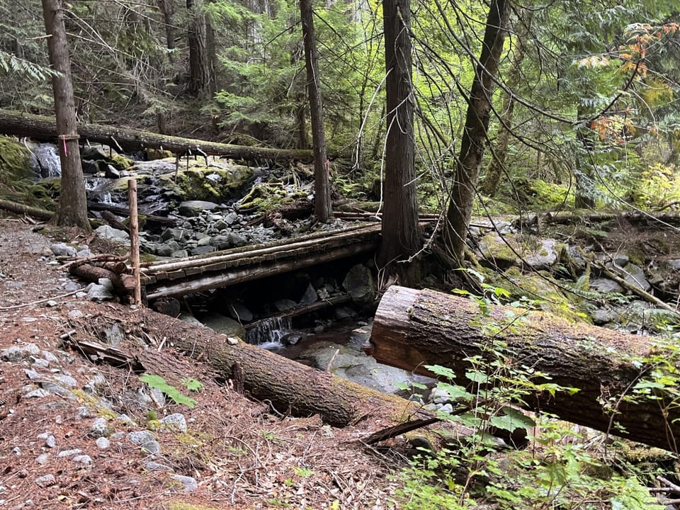
Photos: Forest Service / Camden Bruner · Public domain; Forest Service / Matt Ross · Public domain
No hiker reports in the last 3 days. Be the first to report here
Open in the app (live map, alerts, offline maps)
At this trailhead
Dogs allowed Northwest Forest Pass
Pack it out.
Darrington Ranger District, Mt. Baker-Snoqualmie National Forest U.S. Forest Service
Rules, passes and closures change. Check the official Forest Service site before you go.
Getting there
Navigate to: Google Maps · Apple Maps · coordinates 48.24483, -121.19053
Trails from this trailhead
- Image Lake Loop Trail · Loop · 15.2 mi · 4,891 ft gain · 6½–9 hr · Strenuous
- Milk Creek Trail · Out-and-back · 6.3 mi one way · 1,841 ft gain · 4½–6¼ hr · Strenuous
- Miner's Cabin Trail · Out-and-back · 14.2 mi one way · 4,157 ft gain · 10–14 hr · Strenuous
- Miner's Ridge Trail · Out-and-back · 18.2 mi one way · 5,001 ft gain · 13–18¼ hr · Strenuous
- Suiattle River Trail · Out-and-back · 10.2 mi one way · 1,612 ft gain · 6¾–9¼ hr · Strenuous
- Sulphur Mountain Trail · Out-and-back · 5.6 mi one way · 4,200 ft gain · 5–7 hr · Strenuous
Right now
Chance Rain And Snow then Partly Sunny, wind 3 mph · Full forecast ›
No reports in the last 3 days.
Trail updates are public. The summary uses the last 6 hours (trail state the last 3 days); older reports stay in the history so seasons can be compared. Times are Pacific. Something wrong on this page? Suggest a correction.