⚠ Washout on Forest Road 93Forest Road 93 is closed at milepost 6.95 due to a severe washout. Road signs are posted at the beginning of each side of Forest Road 93 to alert drivers of the inability to drive the entire length of road. Barricades…Forest Service · Sep 13 · details ›
⚠ Forest Road 2801 ClosureForest Road 2801 is closed on both ends of the road due to a washout at milepost 0.25 and a large slide at milepost 7.Forest Service · Mar 13 · details ›
⚠ Adams Fork Bridge Closed (FR 5601)The Adams Fork Bridge on Forest Road 5601 at MP 2.0 on the Cowlitz Valley Ranger District is CLOSED. The bridge is beyond its service life, was damaged in flooding in 2015, and has suffered ongoing scouring of the…Forest Service · Mar 13 · details ›
ℹ Spirit Lake Infrastructure Project Trail ClosuresThe replacement of the Spirit Lake Tunnel Intake Gate and Geotechnical Drilling project to support safe operations and maintenance of the Spirit Lake infrastructure will continue in 2025. Construction will require…Forest Service · May 15 · details ›
TodayAM37°41%
TonightPM31°40%
MonAM40°87%
MonPM35°60%
TueAM42°82%
TuePM37°82%
WedAM45°70%
WedPM38°96%
Chance Light Snow then Mostly Cloudy, wind 3 mph · Full forecast ›
Daylight7:19 am4:26 pm
Air qualityAQI 41 Good
WildfireBackbone fire, 18 km away, 17 acres, 100% contained
Snow3″ snow at Paradise (5,150 ft, 6.2 km away) Typical year: snowpack 13% of normal for the date · usually melted out by about Jul 15 · typical peak May 4
Snow levelabout 2,300 ft now · 2,200–5,500 ft over the next three days · 0.5″ of new snow forecast in 48 h
PassCayuse Pass SR 12325 km Eastbound: Closed for the season · Westbound: Closed for the season · SR 123 Cayuse Pass is closed for the season. For outdoor recreational information visit the Mount Rainier National Park road status page: https://www.nps.gov/mora/planyourvisit/road-status.htm · 36°F · pass report ›
Cameras
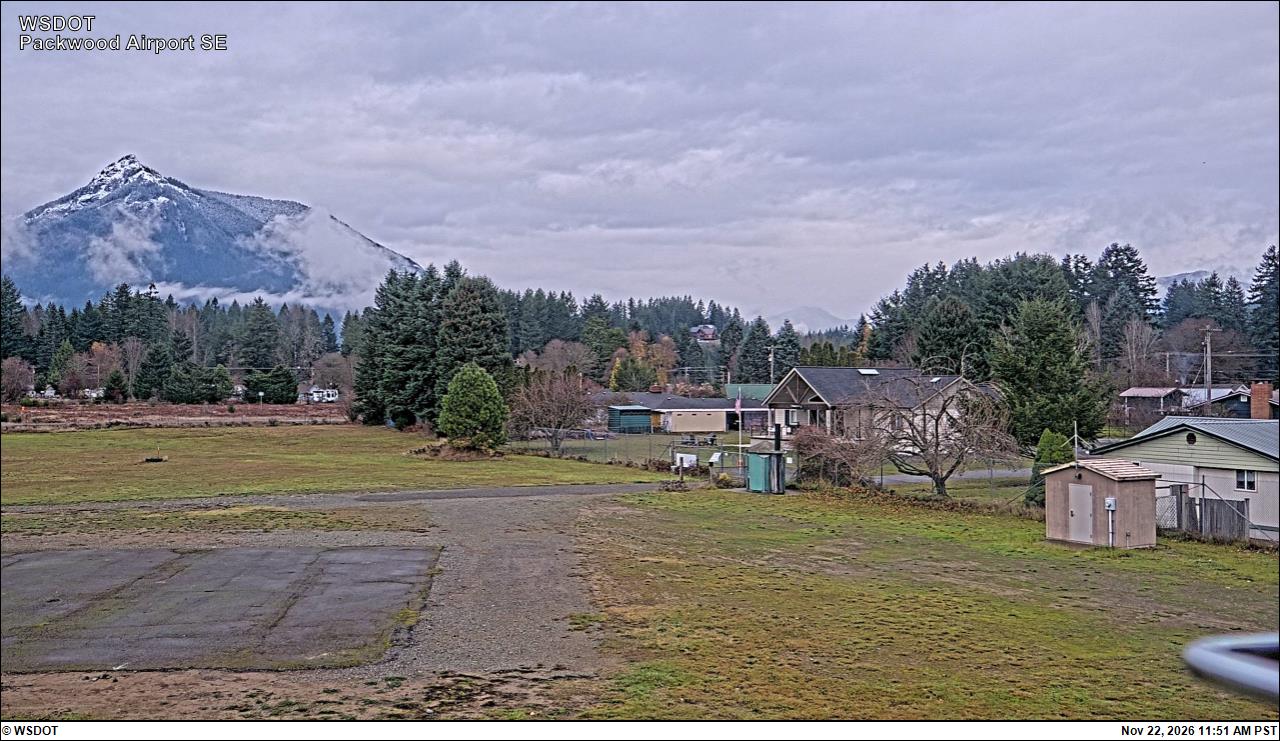
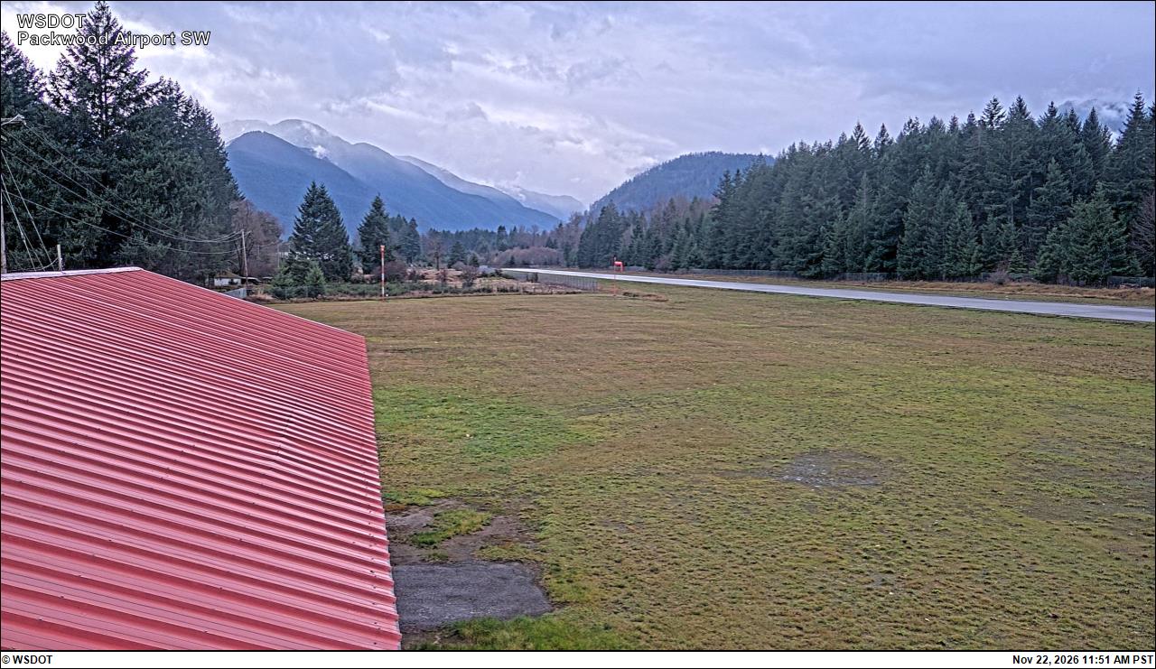
Packwood Airport South · 19 km ›Packwood Airport Southwest · 19 km ›
No reports in the last 3 days.
Trail updates are public. The summary uses the last 6 hours (trail state the last 3 days); older reports stay in the history so seasons can be compared. Times are Pacific. Something wrong on this page? Suggest a correction.