Washington Trail Conditions

← All trailheads · Methow Valley

Twisp River Trailhead

1 trail starts here · Methow Valley

EF
Parkingnot reported today

No hiker reports in the last 3 days. Be the first to report here

Open in the app (live map, alerts, offline maps)

At this trailhead

Dogs allowed Northwest Forest Pass Toilets (vault)

Pack it out.

Official pageForest Service › record checked 2026-10-06
FeeA recreation pass is required at some of the trailheads giving access to this trail.
RestrictionsCertified weed free hay is required on National forest lands (processed grains are okay).
PermitsDay hikes: none. Overnight: wilderness permit.
AreaMethow Valley ›
Methow Valley Ranger District, Okanogan-Wenatchee National Forest U.S. Forest Service

Rules, passes and closures change. Check the official Forest Service site before you go.

Getting there

Navigate to: Google Maps · Apple Maps · coordinates 48.35093, -120.35588

Trails from this trailhead

Right now

Post an update here

TodayAM34°41%
TonightPM27°58%
MonAM34°58%
MonPM28°38%
TueAM35°87%
TuePM31°87%
WedAM40°53%
WedPM33°98%

Chance Light Snow, wind 2 mph · Full forecast ›

Daylight7:19 am 4:15 pm
Air qualityAQI 67 Moderate
WildfireSisi fire, 35 km away, 4,816 acres, 90% contained
Snow levelabout 2,000 ft now · 1,200–3,700 ft over the next three days · 1″ of new snow forecast in 48 h
PassNorth Cascade Hwy SR 20 31 km
Eastbound: No restrictions · Westbound: No restrictions · Compact snow and ice · 28°F · pass report ›
Cameras
Methow Valley State Airport Northwest
Methow Valley State Airport Northwest · 18 km ›
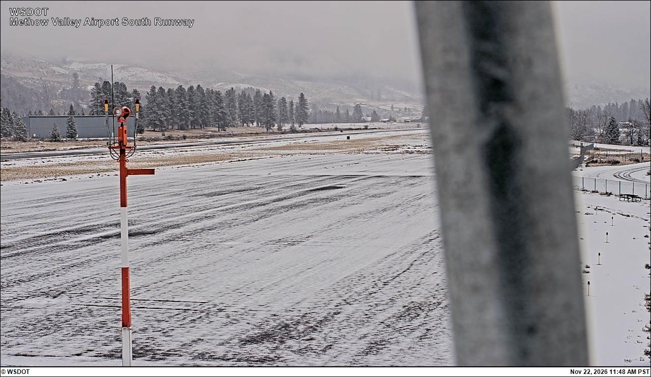
Methow Valley State Airport South
Methow Valley State Airport South · 18 km ›

No reports in the last 3 days.

Trail updates are public. The summary uses the last 6 hours (trail state the last 3 days); older reports stay in the history so seasons can be compared. Times are Pacific. Something wrong on this page? Suggest a correction.