Sisi Fire Trails ClosureTrail Closures are as follows and only apply to Forest Service lands:Pacific Crest Trail 2000 (PCT) – Closure begins where Forest Service Trail (FST) 2000 enters the Chelan Ranger District (CRD) at T. 32 N., R. 14 E.,…Forest Service · Aug 22 · details ›
ℹ Norse Peak and Clearwater Wilderness Use Restrictions on the Naches Ranger DistrictCamping is prohibited within 100 feet slope distance from the shoreline of any lake and/or the Pacific Crest National Scenic Trail EXCEPT at Echo Lake and Lost Lake within Norse Peak Wilderness.Forest Service · May 8 · details ›
ℹ Pacific Crest Trail Bicycle Restrictions - Forestwide or multi districtPursuant to 36 CFR 261.50 (a) . (b), the following is prohibited in or on any portion of tbe Pacific Crest National Scenic trail under Forest Service jurisdiction: Using or possessing a bicycle except by special-use…Forest Service · Aug 31 · details ›
WildfireBackbone fire, 17 km away, 17 acres, 100% contained
Snow5″ snow at White Pass E.S. (4,440 ft, 0.4 km away) Typical year: snowpack 58% of normal for the date · usually melted out by about Jun 1 · typical peak Apr 5
Snow levelabout 2,500 ft now · 1,700–5,200 ft over the next three days · 1.5″ of new snow forecast in 48 h
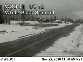
PassWhite Pass US 121 km Eastbound: No restrictions · Westbound: No restrictions · Bare and wet · 28°F · pass report ›
Cameras
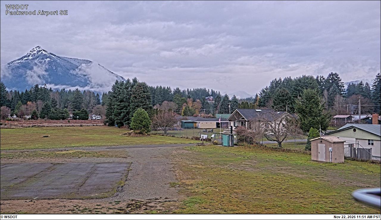
US 12 at MP 150.9: White Pass Summit · 1 km ›Packwood Airport South · 23 km ›
No reports in the last 3 days.
Trail updates are public. The summary uses the last 6 hours (trail state the last 3 days); older reports stay in the history so seasons can be compared. Times are Pacific. Something wrong on this page? Suggest a correction.