ℹ Hitching and Tying of Pack/Saddle Animals - Forestwide or multi districtPursuant to Title 36CFR261.50a, the following act is prohibited on the areaslisted below, located within the Okanogan National Forest, Twisp and WinthropRanger Districts, and the Wenatchee National Forest, Chelan…Forest Service · Apr 6 · details ›
Snow levelabout 1,800 ft now · 1,200–3,500 ft over the next three days · 1″ of new snow forecast in 48 h
PassLoup Loup Pass SR 2025 km Eastbound: No restrictions · Westbound: No restrictions · Compact snow and ice. · 29°F · pass report ›
Cameras
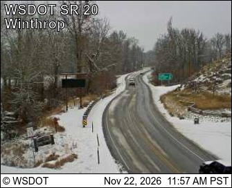
SR 20 at MP 192.5: Winthrop - Rader Rd · 2 km ›Methow Valley State Airport Northwest · 7 km ›
No reports in the last 3 days.
Trail updates are public. The summary uses the last 6 hours (trail state the last 3 days); older reports stay in the history so seasons can be compared. Times are Pacific. Something wrong on this page? Suggest a correction.