⚠ SR 165 is closed at the Carbon River/Fairfax Bridge to all vehicles, bicyclists and pedestrians until further notice. The closure means there is no access acrosWSDOT · 16 km · Jul 6 · details ›
⚠ Until further notice, SR 161 is reduced to one lane in each direction between 36th Street East and Dechaux Road East on North Hill due to slide activity. TravelWSDOT · 11 km · Mar 20 · details ›
Daylight7:25 am6:23 pm
Air qualityAQI 17 Good
WildfireWest Fork fire, 44 km away, 310 acres, 16% contained
Snow0″ snow at Burnt Mountain (4,160 ft, 24.3 km away) Typical year: normally snow-free now · usually melted out by about May 20 · typical peak Apr 6
Cameras
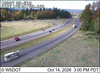
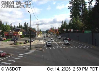
SR 512 at MP 8.7: SR 161 (South Hill) · 6 km ›SR 410 at MP 13.3: 181st Ave E · 7 km ›
No reports in the last 3 days.
Reports are anonymous. The summary uses the last 6 hours (trail state the last 3 days); older reports stay in the history so seasons can be compared. Times are Pacific. Something wrong on this page? Suggest a correction.