← All trailheads · North Cascades / Hwy 20
Thunder Knob Trailhead
1 trail starts here · North Cascades / Hwy 20
Parkingnot reported today
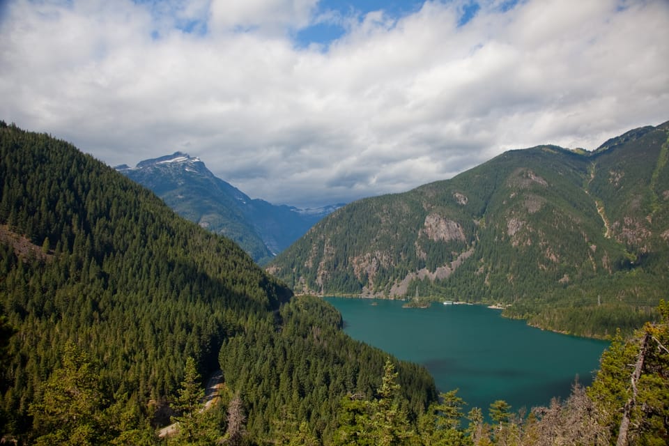
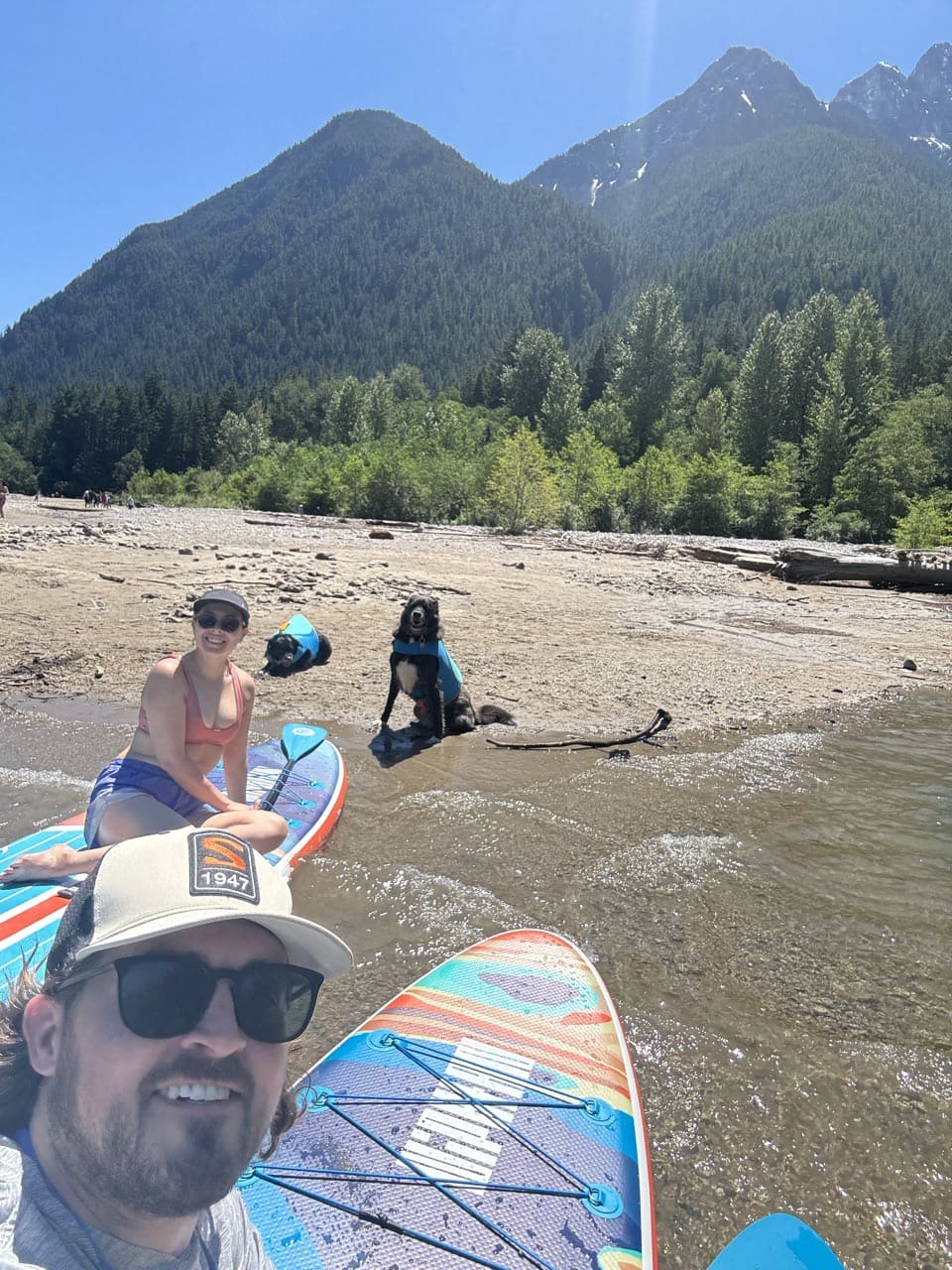
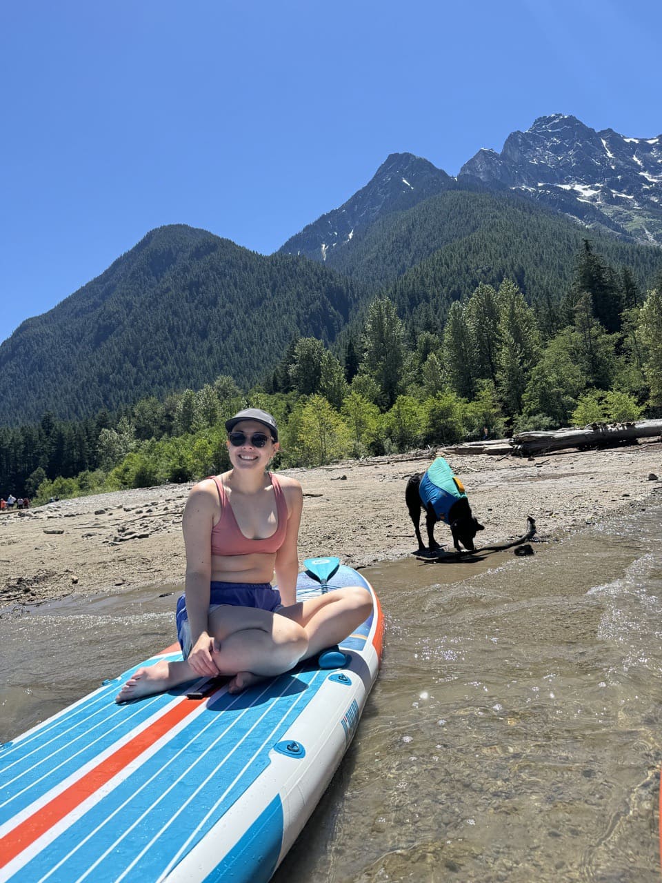
Photos: NPS / Astudillo · Public domain
No hiker reports in the last 3 days. Be the first to report here
Open in the app (live map, alerts, offline maps)
At this trailhead
Dogs on leash No fee or pass
Pack it out.
Official pageNational Park Service ›
PermitsDay hikes: none. Overnight: wilderness permit.
AreaNorth Cascades National Park Complex › National Park Service
Officialconditions › · roads › · fees › · permits ›
Rules, fees and closures change. Check the official park site before you go.
Getting there
Navigate to: Google Maps · Apple Maps · coordinates 48.69101, -121.09961
Trails from this trailhead
- Thunder Knob Trail · Out-and-back · 1.7 mi one way · 636 ft gain · 1¼–1¾ hr · Easy
Right now
⚠ Cascade River Road Closed for the Winter SeasonCascade River Road is closed at milepost 21 (Johnson Cabin) two miles before the trailhead. Cascade River Road usually opens in mid-summer depending on snow and road damage. Do not block gate. Foot and bicycle traffic…National Park Service · Nov 9 · details ›
TodayAM40°29%
TonightPM31°20%
MonAM39°68%
MonPM33°55%
TueAM42°83%
TuePM36°91%
WedAM45°79%
WedPM39°98%
Chance Light Snow, wind 2 mph · Full forecast ›
Daylight7:23 am 4:17 pm
Air qualityAQI 39 Good
WildfireSisi fire, 43 km away, 4,816 acres, 90% contained
Snow1″ snow at Thunder Basin (4,310 ft, 19.9 km away)
Typical year: snowpack 5% of normal for the date · usually melted out by about Jun 8 · typical peak Apr 6
Typical year: snowpack 5% of normal for the date · usually melted out by about Jun 8 · typical peak Apr 6
Snow levelabout 2,300 ft now · 1,300–4,300 ft over the next three days · 1″ of new snow forecast in 48 h
PassNorth Cascade Hwy SR 20 35 km
Eastbound: No restrictions · Westbound: No restrictions · Compact snow and ice · 28°F · pass report ›
Eastbound: No restrictions · Westbound: No restrictions · Compact snow and ice · 28°F · pass report ›
No reports in the last 3 days.
Trail updates are public. The summary uses the last 6 hours (trail state the last 3 days); older reports stay in the history so seasons can be compared. Times are Pacific. Something wrong on this page? Suggest a correction.