← All trailheads · White Pass / US-12
Lily Basin Trailhead (hikers)
1 trail starts here · White Pass / US-12
Parkingnot reported today
No hiker reports in the last 3 days. Be the first to report here
Open in the app (live map, alerts, offline maps)
At this trailhead
Dogs allowed Northwest Forest Pass
Pack it out.
Official pageForest Service › record checked 2026-10-06
RestrictionsWilderness Regulations Apply within Goat Rocks Wilderness.
PermitsDay hikes: none. Overnight: wilderness permit.
AreaMount St. Helens and the Gifford Pinchot National Forest › U.S. Forest Service
Officialconditions › · roads › · fees › · permits ›
Rules, passes and closures change. Check the official Forest Service site before you go.
Getting there
Navigate to: Google Maps · Apple Maps · coordinates 46.56443, -121.60012
Trails from this trailhead
- Lily Basin Trail · Out-and-back · 11.6 mi one way · 3,334 ft gain · 8¾–12¼ hr · Strenuous
Right now
Fire RestrictionsThere are no current fire restrictions on the Gifford Pinchot National Forest. Even with lower fire risk please continue to practice safe fire habits: never leave a campfire unattended and make sure it is completely…Forest Service · Sep 18 · details ›
TodayAM33°14%
TonightPM27°28%
MonAM35°50%
MonPM30°47%
TueAM35°86%
TuePM34°86%
WedAM39°71%
WedPM37°95%
Mostly Cloudy, wind 2 mph · Full forecast ›
Daylight7:18 am 4:26 pm
WildfireBackbone fire, 15 km away, 17 acres, 100% contained
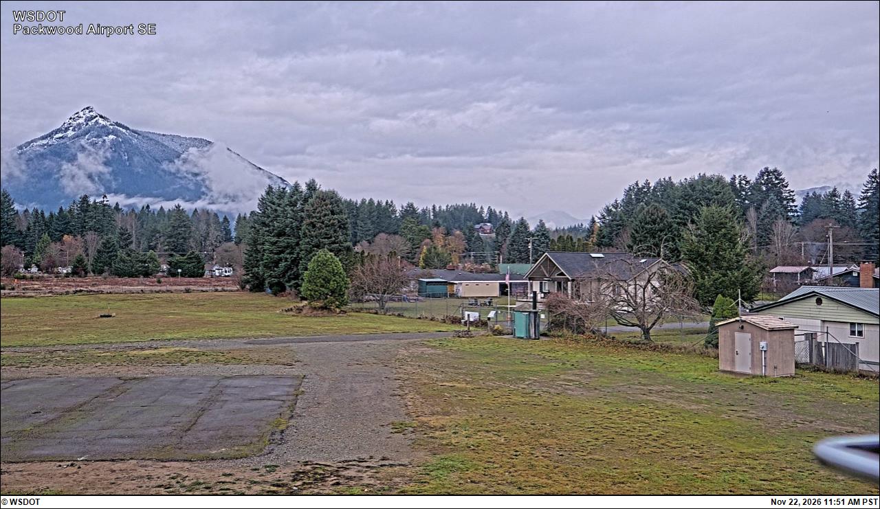
Snow10″ snow at Pigtail Peak (5,800 ft, 17.5 km away)
Typical year: snowpack 52% of normal for the date · usually melted out by about Jul 3 · typical peak Apr 29
Snow levelabout 2,600 ft now · 2,100–5,400 ft over the next three days · 1″ of new snow forecast in 48 h
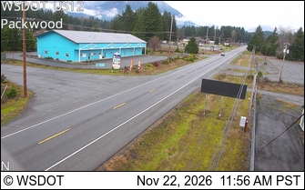
PassWhite Pass US 12 18 km
Eastbound: No restrictions · Westbound: No restrictions · Bare and wet · 28°F · pass report ›
No reports in the last 3 days.
Trail updates are public. The summary uses the last 6 hours (trail state the last 3 days); older reports stay in the history so seasons can be compared. Times are Pacific. Something wrong on this page? Suggest a correction.