Fire RestrictionsThere are no current fire restrictions on the Gifford Pinchot National Forest. Even with lower fire risk please continue to practice safe fire habits: never leave a campfire unattended and make sure it is completely…Forest Service · Sep 18 · details ›
WildfireBackbone fire, 9 km away, 17 acres, 100% contained
Snow10″ snow at Pigtail Peak (5,800 ft, 15.1 km away) Typical year: snowpack 52% of normal for the date · usually melted out by about Jul 3 · typical peak Apr 29
Snow levelabout 2,600 ft now · 2,100–5,300 ft over the next three days · 0.5″ of new snow forecast in 48 h
PassWhite Pass US 1215 km Eastbound: No restrictions · Westbound: No restrictions · Bare and wet · 28°F · pass report ›
Cameras
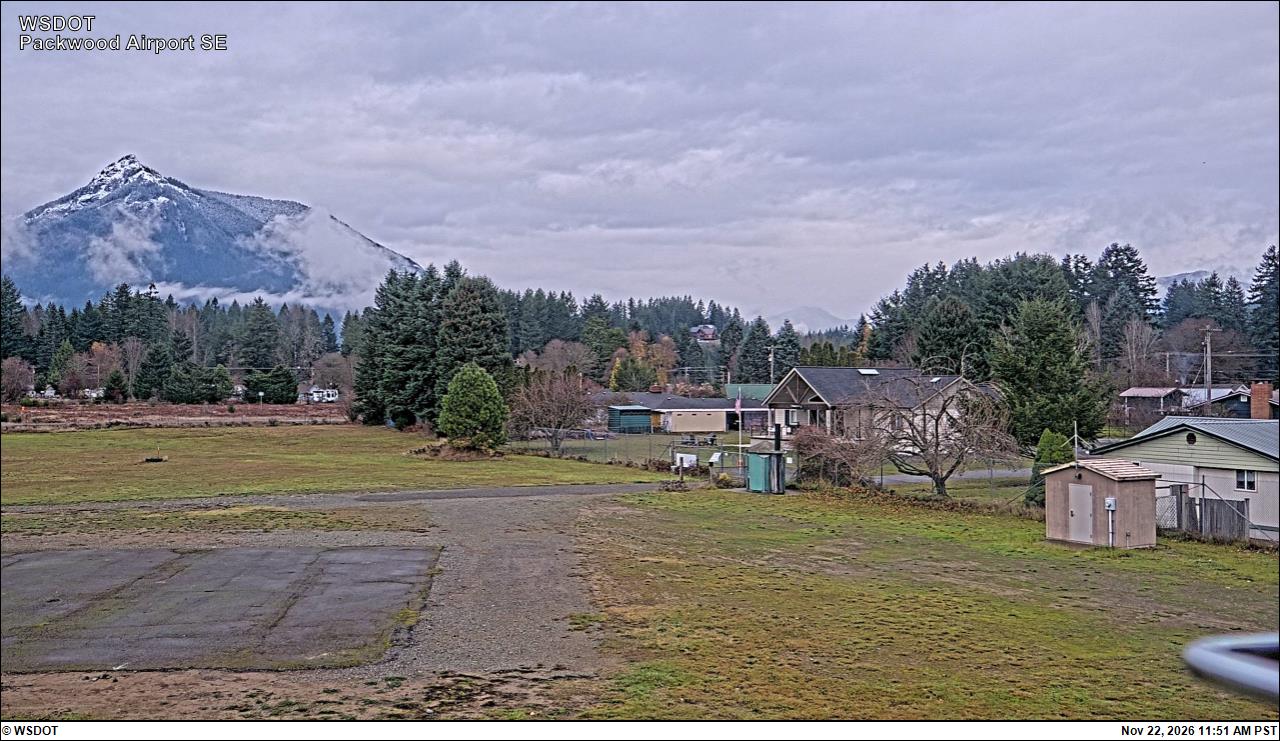
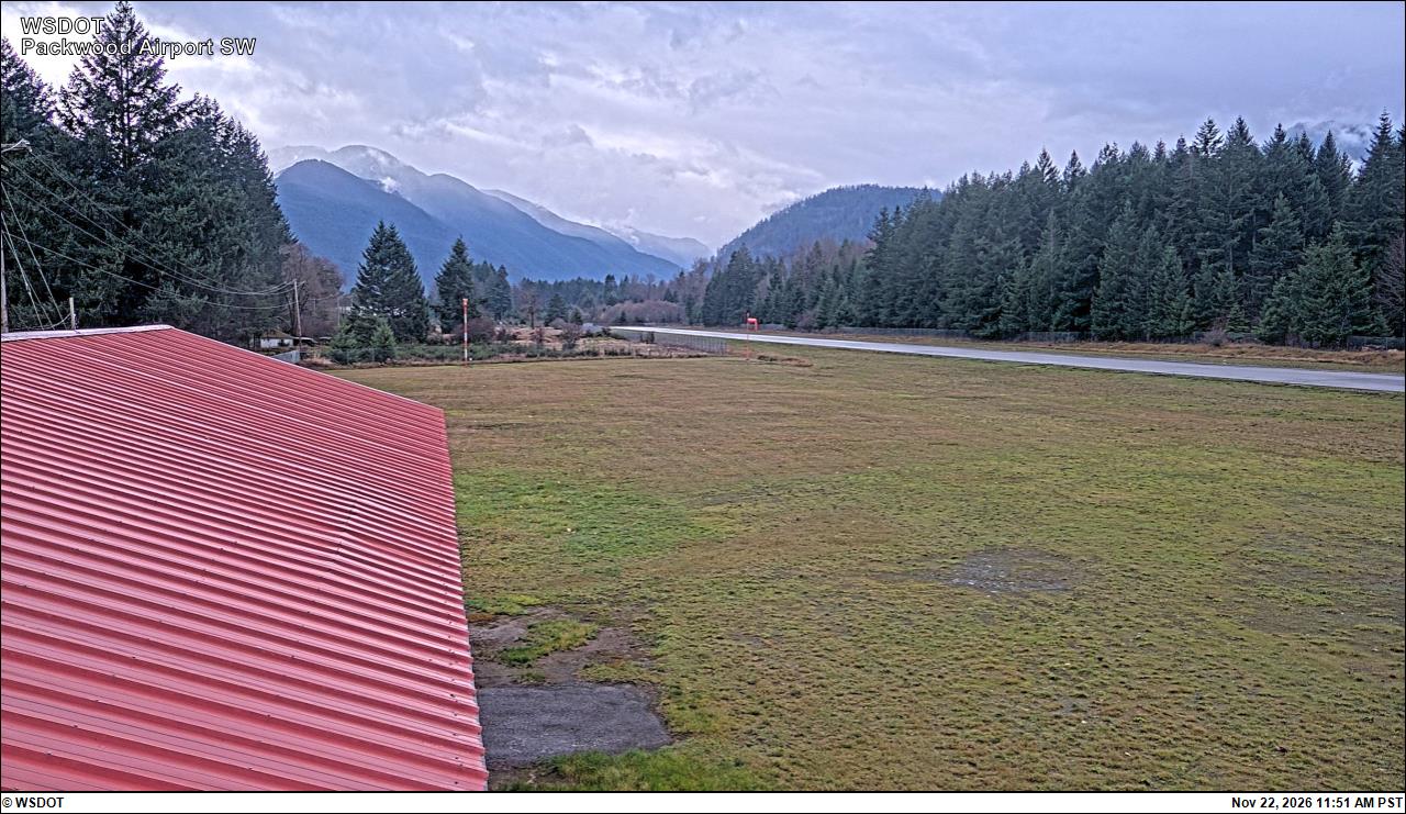
Packwood Airport South · 7 km ›Packwood Airport Southwest · 7 km ›
No reports in the last 3 days.
Trail updates are public. The summary uses the last 6 hours (trail state the last 3 days); older reports stay in the history so seasons can be compared. Times are Pacific. Something wrong on this page? Suggest a correction.