⚠ SR 116 is closed to all travelers between Shotwell Place and Chimacum Creek Drive. The road will be closed until sometime in November. WSDOT will share an updatWSDOT · 3 km · Nov 9 · details ›
⚠ Park is Completely ClosedAnderson Lake State Park is closed for construction work on its entrance, roadway and trail network. Construction includes ADA parking, new restrooms, equestrian area improvements and a new extension to the Olympic…Washington State Parks · Nov 2 · details ›
⚠ Water ClosureAll water activities are closed due to high water toxin levels. Do not recreate in or around the water.Washington State Parks · May 1 · details ›
Burn Ban No fires at any timeNo fires permitted at any time.Washington State Parks · Jan 1 · details ›
Snow4″ snow at Dungeness (3,990 ft, 25.6 km away) Typical year: snowpack 180% of normal for the date · usually melted out by about Apr 30 · typical peak Mar 15
Snow levelabout 2,500 ft now · 2,500–5,500 ft over the next three days
Cameras
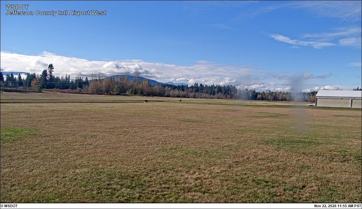
Jefferson County International Airport North · 4 km ›Jefferson County International Airport West · 4 km ›
No reports in the last 3 days.
Trail updates are public. The summary uses the last 6 hours (trail state the last 3 days); older reports stay in the history so seasons can be compared. Times are Pacific. Something wrong on this page? Suggest a correction.