← All trailheads · Southwest Washington
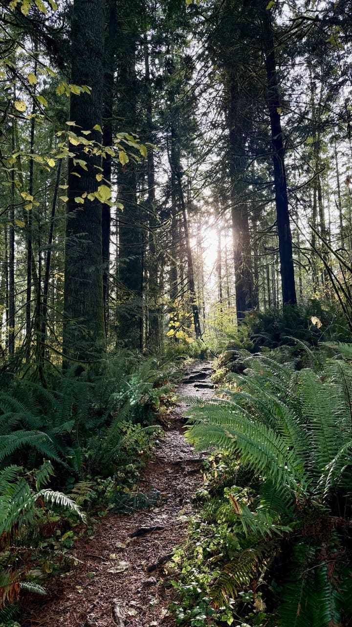
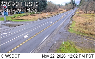
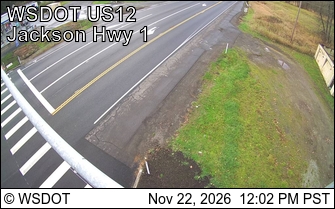
Lewis & Clark State Park Trailhead
8 trails start here · Southwest Washington
Parkingnot reported today
No hiker reports in the last 3 days. Be the first to report here
Open in the app (live map, alerts, offline maps)
At this trailhead
Getting there
Navigate to: Google Maps · Apple Maps · coordinates 46.52250, -122.81330
Trails from this trailhead
- Beaver Dam Loop · Loop · 1.8 mi · 131 ft gain · 35–50 min · Easy
- Black Bear Loop · Loop · 1.2 mi · 24 ft gain · 20–30 min · Easy
- Buck Loop · Loop · 0.3 mi · 25 ft gain · 10–10 min · Easy
- Camas Loop · Loop · 0.8 mi · 41 ft gain · 15–20 min · Easy
- Cougar Trail · Out-and-back · 0.4 mi one way · 83 ft gain · 15–20 min · Easy
- Doe Loop · Loop · 0.3 mi · 10–10 min · Easy
- Fawn Loop · Loop · 0.3 mi · 51 ft gain · 10–10 min · Easy
- Old Growth Forest Trail · Loop · 0.5 mi · 10–10 min · Easy
Right now
TodayAM46°33%
TonightPM36°54%
MonAM50°46%
MonPM40°49%
TueAM49°60%
TuePM43°59%
WedAM54°62%
WedPM45°94%
Chance Light Rain, wind 3 to 9 mph · Full forecast ›
No reports in the last 3 days.
Trail updates are public. The summary uses the last 6 hours (trail state the last 3 days); older reports stay in the history so seasons can be compared. Times are Pacific. Something wrong on this page? Suggest a correction.