⚠ Water ClosurePark WinterizationWashington State Parks · Nov 21 · details ›
Burn Ban Level 2Wood fires restricted to fire pits in designated areas. Gas and propane allowed. Charcoal may be restricted.Washington State Parks · Sep 25 · details ›
TodayAM38°37%
TonightPM28°44%
MonAM39°44%
MonPM26°5%
TueAM38°49%
TuePM30°49%
WedAM42°14%
WedPM32°53%
Chance Rain And Snow then Areas Of Fog, wind 3 mph · Full forecast ›
Daylight7:10 am4:16 pm
Snow levelabout 1,600 ft now · 1,500–4,800 ft over the next three days
Cameras
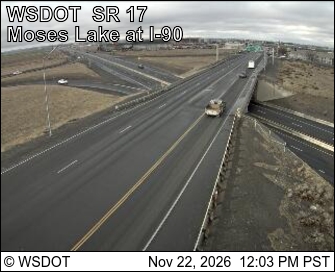
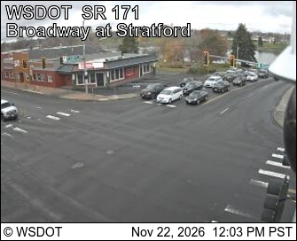
SR 17 at MP 50.8: Moses Lake at I-90 · 16 km ›SR 171 at MP 2.9: Moses Lake · 19 km ›
No reports in the last 3 days.
Trail updates are public. The summary uses the last 6 hours (trail state the last 3 days); older reports stay in the history so seasons can be compared. Times are Pacific. Something wrong on this page? Suggest a correction.