Burn Ban Level 2Wood fires restricted to fire pits in designated areas. Gas and propane allowed. Charcoal may be restricted.Washington State Parks · Sep 18 · details ›
ℹ ConstructionThe Kitchen Shelter will be closed beginning May 2025 through the end of December 2026 for restoration.Washington State Parks · Apr 1 · details ›
Snow levelabout 2,700 ft now · 2,700–5,800 ft over the next three days
Cameras
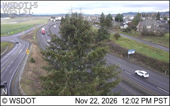
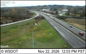
I-5 at MP 78.3: West St · 20 km ›I-5 at MP 78: SR 6 Interchange · 20 km ›
No reports in the last 3 days.
Trail updates are public. The summary uses the last 6 hours (trail state the last 3 days); older reports stay in the history so seasons can be compared. Times are Pacific. Something wrong on this page? Suggest a correction.