ℹ NotificationThe Rockport ADA Trail is closed until further notice due to storm damage. We apologize for the inconvenience and we appreciate your patience while we work to clear the trail.Washington State Parks · Dec 11 · details ›
Snow levelabout 2,000 ft now · 1,800–5,200 ft over the next three days
PassMt. Baker Hwy SR 54242 km Eastbound: Traction Tires Advised, Oversize Vehicles Prohibited. · Westbound: Traction Tires Advised, Oversize Vehicles Prohibited. · Snow and ice in places. · 29°F · pass report ›
Cameras
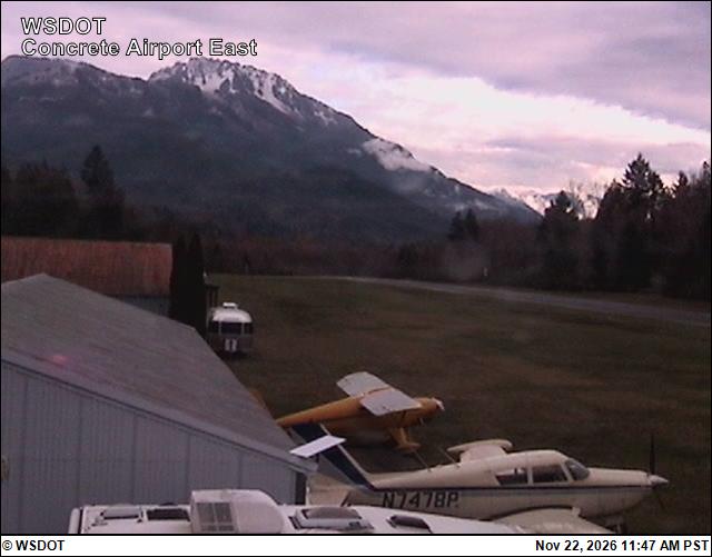
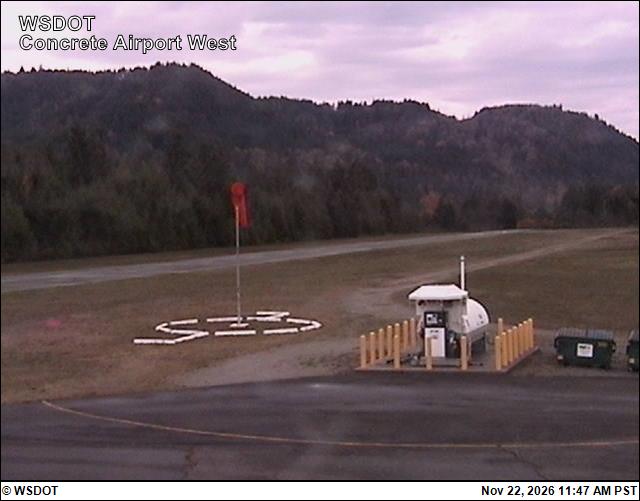
Mears Field (Concrete) Airport East · 11 km ›Mears Field (Concrete) Airport West · 11 km ›
No reports in the last 3 days.
Trail updates are public. The summary uses the last 6 hours (trail state the last 3 days); older reports stay in the history so seasons can be compared. Times are Pacific. Something wrong on this page? Suggest a correction.