⚠ Until further notice, SR 161 is reduced to one lane in each direction between 36th Street East and Dechaux Road East on North Hill due to slide activity. TravelWSDOT · 18 km · Nov 19 · details ›
⚠ Part of the Park is ClosedThere are a number of projects in development in the campground area of the park, some resulting from flooding and erosion impacts. While the campground is closed, we are taking this opportunity to reevaluate camping…Washington State Parks · Jun 22 · details ›
TodayAM50°34%
TonightPM38°37%
MonAM51°79%
MonPM41°72%
TueAM52°72%
TuePM43°73%
WedAM56°70%
WedPM46°96%
Chance Light Rain then Mostly Cloudy, wind 5 mph · Full forecast ›
Daylight7:23 am4:26 pm
Air qualityAQI 56 Moderate
Snow levelabout 2,400 ft now · 2,400–5,700 ft over the next three days
Cameras
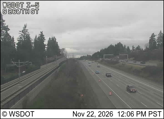
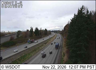
I-5 at MP 147.7: S 260th St · 2 km ›I-5 at MP 148.4: S 248th St · 2 km ›
No reports in the last 3 days.
Trail updates are public. The summary uses the last 6 hours (trail state the last 3 days); older reports stay in the history so seasons can be compared. Times are Pacific. Something wrong on this page? Suggest a correction.