⚠ Part of the Park is ClosedTolmie State Park will be partially closed from 9/20/26-12/31/26 for construction. Kitchen Shelters will not be available to rent, and no flushing facilities will be available. The Lower Lot will be closed, so parking…Washington State Parks · Aug 31 · details ›
Burn Ban Level 2Wood fires restricted to fire pits in designated areas. Gas and propane allowed. Charcoal may be restricted.Washington State Parks · Sep 18 · details ›
ℹ NotificationTolmie State Park is closed Mondays and Tuesdays through March 30, 2027.Washington State Parks · Oct 21 · details ›
Snow levelabout 2,500 ft now · 2,500–5,700 ft over the next three days
Cameras
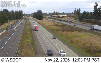
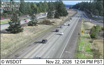
I-5 at MP 111.2: Gateway Blvd · 6 km ›I-5 at MP 111.9: Marvin Rd · 6 km ›
No reports in the last 3 days.
Trail updates are public. The summary uses the last 6 hours (trail state the last 3 days); older reports stay in the history so seasons can be compared. Times are Pacific. Something wrong on this page? Suggest a correction.