← All trailheads · Puget Sound lowlands
Little Mountain Park Trailhead
6 trails start here · Puget Sound lowlands
Parkingnot reported today
No hiker reports in the last 3 days. Be the first to report here
Open in the app (live map, alerts, offline maps)
At this trailhead
Pack it out.
Official pageOfficial page ›
Getting there
Navigate to: Google Maps · Apple Maps · coordinates 48.39322, -122.30427
Trails from this trailhead
- Bonnie & Clyde's · Out-and-back · 1 mi one way · 227 ft gain · 40 min–1 hr · Easy
- Cairn · Out-and-back · 0.5 mi one way · 105 ft gain · 20–30 min · Easy
- Down South · Out-and-back · 0.6 mi one way · 301 ft gain · 30–40 min · Easy
- Rooty · Out-and-back · 0.5 mi one way · 154 ft gain · 20–30 min · Easy
- Sidewinder · Out-and-back · 0.8 mi one way · 102 ft gain · 30–45 min · Easy
- West Loop · Loop · 0.6 mi · 363 ft gain · 20–25 min · Easy
Right now
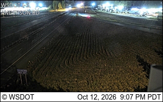
⚠ The SR 536 Skagit River Bridge is closed to eastbound traffic to repaint the bridge. Eastbound vehicles should detour using eastbound SR 20 and southbound I-5. WSDOT · 4 km · Oct 9 · details ›
TonightPM45°13%
TueAM55°13%
TuePM51°24%
WedAM59°24%
WedPM47°
ThuAM67°
ThuPM49°
FriAM69°8%
Partly Cloudy, wind 0 to 5 mph · Full forecast ›
No reports in the last 3 days.
Reports are anonymous. The summary uses the last 6 hours (trail state the last 3 days); older reports stay in the history so seasons can be compared. Times are Pacific. Something wrong on this page? Suggest a correction.