← All trailheads · Snoqualmie Pass / I-90
Howson Creek Trailhead
1 trail starts here · Snoqualmie Pass / I-90
Parkingnot reported today
No hiker reports in the last 3 days. Be the first to report here
Open in the app (live map, alerts, offline maps)
At this trailhead
Pack it out.
Official pageForest Service › record checked 2026-10-06
FeeSingle site: $20 Group Site $130 Extra vehicle fee : $6 (2nd vehicle for single sites, 3rd and 4 vehicles for double sites) will be collecte
Noteopen Mid-May to Mid-September
Getting there
Navigate to: Google Maps · Apple Maps · coordinates 47.35106, -121.10439
Trails from this trailhead
- Howson Creek Trail · Out-and-back · 2.8 mi one way · 3,144 ft gain · 3–4¼ hr · Strenuous
Right now
TonightPM39°3%
TueAM60°6%
TuePM47°7%
WedAM64°7%
WedPM46°
ThuAM66°
ThuPM47°
FriAM69°
Partly Cloudy, wind 2 mph · Full forecast ›
Daylight7:20 am 6:21 pm
Air qualityAQI 29 Good
WildfireThree Queens fire, 14 km away, 9,575 acres, 33% contained
Snow0″ snow at Sasse Ridge (4,340 ft, 4.9 km away)
Typical year: usually melted out by about Jun 1 · typical peak Apr 7
Snow levelabout 5,700 ft now · 5,700–9,400 ft over the next three days
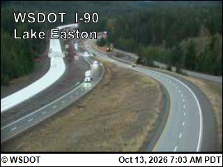
PassSnoqualmie Pass I-90 24 km
Eastbound: No restrictions · Westbound: No restrictions · 37°F · pass report ›
No reports in the last 3 days.
Reports are anonymous. The summary uses the last 6 hours (trail state the last 3 days); older reports stay in the history so seasons can be compared. Times are Pacific. Something wrong on this page? Suggest a correction.