WildfireKing fire, 45 km away, 3,427 acres, 36% contained
Snow1″ snow at Alpine Meadows (3,500 ft, 11.7 km away) Typical year: normally snow-free now · usually melted out by about Jun 28 · typical peak Apr 19
Snow levelabout 5,000 ft now · 4,400–9,000 ft over the next three days
PassStevens Pass US 235 km Eastbound: No restrictions · Westbound: No restrictions · pass report ›
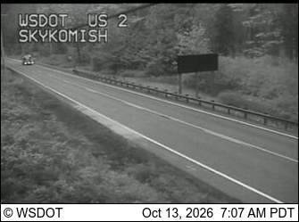
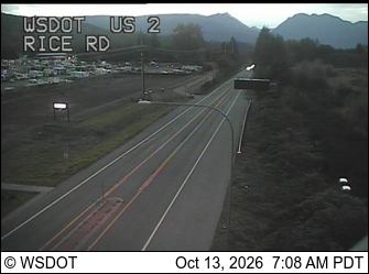
Cameras
US 2 at MP 45.6 (Skykomish) · 14 km ›US 2 at MP 24.2: Rice Rd · 18 km ›
No reports in the last 3 days.
Reports are anonymous. The summary uses the last 6 hours (trail state the last 3 days); older reports stay in the history so seasons can be compared. Times are Pacific. Something wrong on this page? Suggest a correction.