Washington Trail Conditions

← All trailheads · Southwest Washington

Vancouver Lake Park North Trailhead

1 trail starts here · Southwest Washington

EF
Parkingnot reported today

No hiker reports in the last 3 days. Be the first to report here

Open in the app (live map, alerts, offline maps)

At this trailhead

Day-use fee

Pack it out.

Official pageOfficial page ›
NoteClark County Public Works Parks, Vancouver Lake Regional Park, 6801 NW Lower River Rd: 7 am to dusk
Noteparking fee ($5 a day, annual pass)
Notedogs allowed on the trail, not on the beach or lawn April 1 to October 31

Getting there

Navigate to: Google Maps · Apple Maps · coordinates 45.68536, -122.73913

Trails from this trailhead

Right now

Post an update here

TodayAM64°5%
TonightPM47°3%
WedAM69° 
WedPM50° 
ThuAM75° 
ThuPM54° 
FriAM75° 
FriPM52°31%

Mostly Sunny, wind 0 mph · Full forecast ›

Daylight7:24 am 6:29 pm
Air qualityAQI 27 Good
WildfireHigh Lava fire, 53 km away, 2,899 acres, 95% contained
Snow levelabout 6,100 ft now · 6,100–9,700 ft over the next three days
Cameras
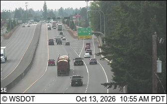
I-5 at MP 4.9: 86th St
I-5 at MP 4.9: 86th St · 6 km ›
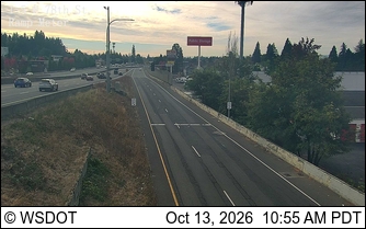
I-5 at MP 4.2: 78th St. Ramp meter
I-5 at MP 4.2: 78th St. Ramp meter · 6 km ›

No reports in the last 3 days.

Reports are anonymous. The summary uses the last 6 hours (trail state the last 3 days); older reports stay in the history so seasons can be compared. Times are Pacific. Something wrong on this page? Suggest a correction.