⚠ The SR 536 Skagit River Bridge is closed to eastbound traffic to repaint the bridge. Eastbound vehicles should detour using eastbound SR 20 and southbound I-5. WSDOT · 6 km · Oct 9 · details ›
Daylight7:27 am6:22 pm
Air qualityAQI 11 Good
Cameras
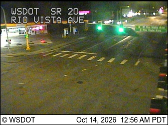
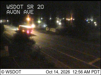
SR 20 at MP 59.8: Rio Vista Ave · 1 km ›SR 20 at MP 60.2: Avon Ave · 2 km ›
No reports in the last 3 days.
Reports are anonymous. The summary uses the last 6 hours (trail state the last 3 days); older reports stay in the history so seasons can be compared. Times are Pacific. Something wrong on this page? Suggest a correction.