⚠ Up to two lanes of southbound I-405 from 112th Avenue Southeast / Lake Washington Boulevard Southeast (milepost 8.5) to Northeast 44th Street (milepost 7.4) wilWSDOT · 13 km · Oct 13 · details ›
⚠ Monday, Oct. 5, on most weeknights until Friday, Oct. 23 - The westbound SR 520 off-ramp to northbound I-5 and East Roanoke Street will close for construction nWSDOT · 9 km · Oct 6 · details ›
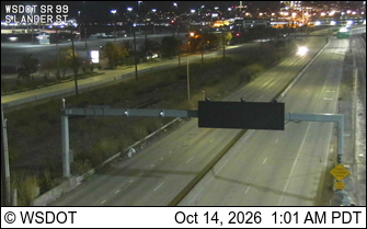
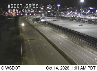
SR 99 at MP 29.4: S Lander St · 2 km ›SR 99 at MP 29.6: S Walker St · 2 km ›
No reports in the last 3 days.
Reports are anonymous. The summary uses the last 6 hours (trail state the last 3 days); older reports stay in the history so seasons can be compared. Times are Pacific. Something wrong on this page? Suggest a correction.