Padilla Bay Shore Trail
Easy · Out-and-back · 4.4 mi round trip · 1¼–1¾ hr
Beach or coastWildlife
Parkingnot reported today
Good for families, first hikes and short outings. Mountain bikes allowed.
No hiker reports in the last 3 days. Be the first to report here
At this trail
Mountain bikes allowed Toilets (portable) Trash cans
Getting there
Starts at Padilla Bay Shore Trail - South Trailhead · 1 other trail starts here
Navigate to the trailhead: Google Maps · Apple Maps · coordinates 48.45703, -122.46611
Right now
⚠ The SR 536 Skagit River/Division Street Bridge will remain closed in both directions until a painting and preservation project finishes construction. The bridgeWSDOT · 10 km · Nov 20 · details ›
TodayAM47°8%
TonightPM37°33%
MonAM49°77%
MonPM41°65%
TueAM50°68%
TuePM44°61%
WedAM55°56%
WedPM48°94%
Partly Sunny, wind 9 to 14 mph · Full forecast ›
Daylight7:28 am 4:23 pm
Air qualityAQI 11 Good
Snow levelabout 2,500 ft now · 2,500–5,500 ft over the next three days
Cameras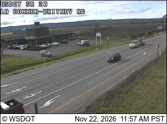
SR 20 at MP 53.2: La Conner-Whitney Rd · 1 km › 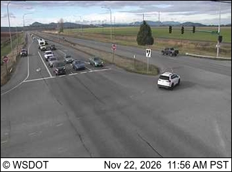
SR 20 at MP 54.5: Best Rd / Farm to Market Rd · 2 km ›
No reports in the last 3 days.
All conditions and reports at Padilla Bay Shore Trail - South Trailhead
Something wrong on this page? Suggest a correction.