Washington Trail Conditions

← All trailheads · Puget Sound lowlands

Padilla Bay Shore Trail - South Trailhead

2 trails start here · Puget Sound lowlands

EF
Parkingnot reported today
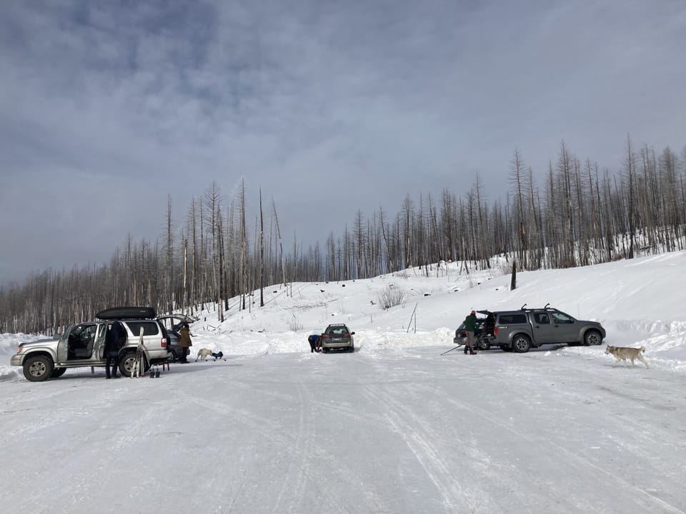
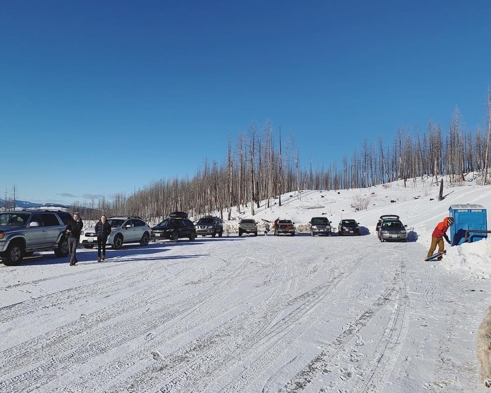
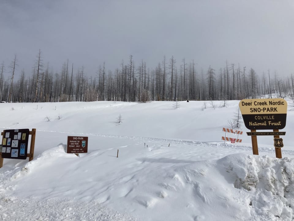
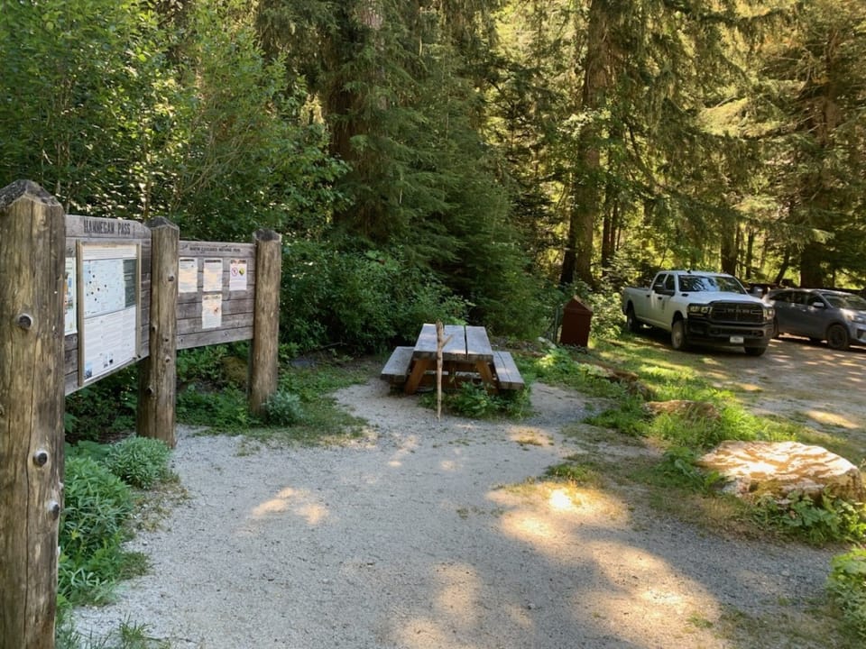
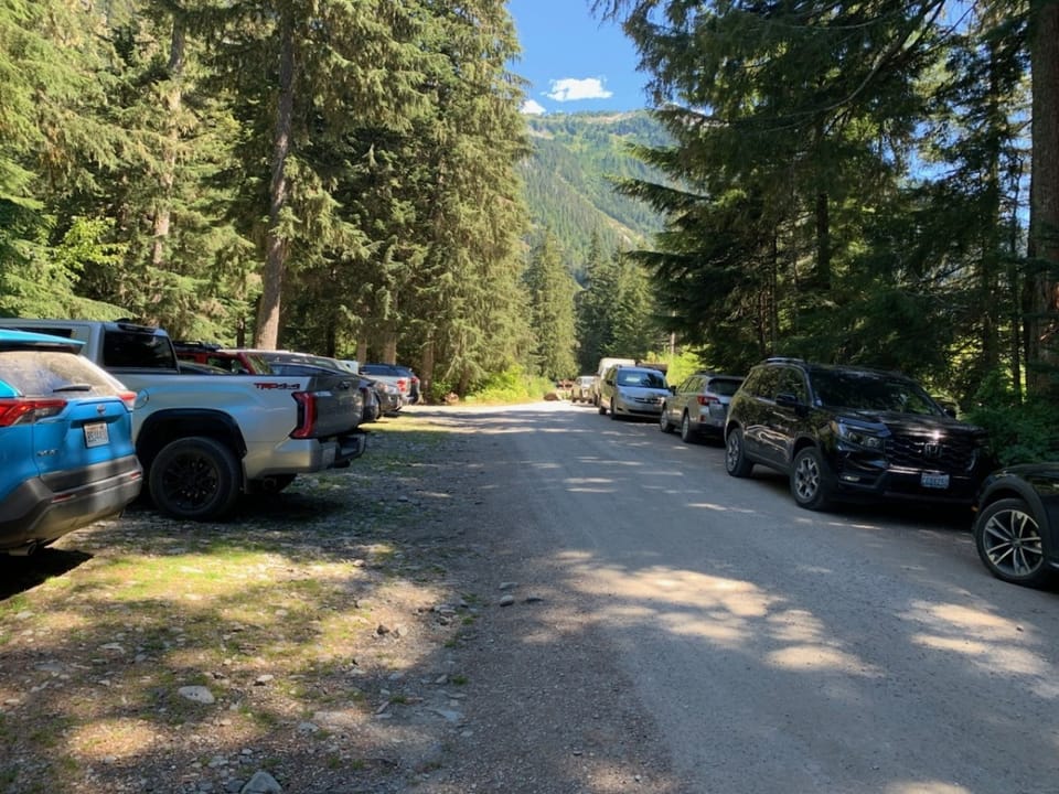
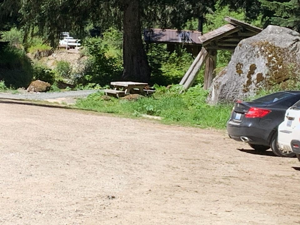
Deer Creek Summit Sno-Park SouthDeer Creek Summit Sno-Park South.Deer Creek Summit Sno-Park SouthHannegan Pass Trailhead, Mt. Baker Ranger DistrictHannegan Pass Trailhead parking lotHannegan Pass Trailhead, Mt. Baker Ranger District

Photos: Forest Service photo · Public domain; Forest Service / Magenta Widner · Public domain

No hiker reports in the last 3 days. Be the first to report here

Open in the app (live map, alerts, offline maps)

At this trailhead

Toilets (portable) Trash cans

Getting there

Navigate to: Google Maps · Apple Maps · coordinates 48.45703, -122.46611

Trails from this trailhead

Right now

Post an update here

⚠ The SR 536 Skagit River/Division Street Bridge will remain closed in both directions until a painting and preservation project finishes construction. The bridgeWSDOT · 10 km · Nov 20 · details ›
TodayAM47°8%
TonightPM37°33%
MonAM49°77%
MonPM41°65%
TueAM50°68%
TuePM44°61%
WedAM55°56%
WedPM48°94%

Partly Sunny, wind 9 to 14 mph · Full forecast ›

Daylight7:28 am 4:23 pm
Air qualityAQI 11 Good
Snow levelabout 2,500 ft now · 2,500–5,500 ft over the next three days
Cameras
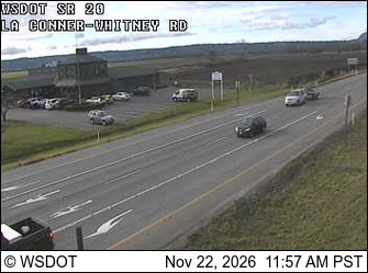
SR 20 at MP 53.2: La Conner-Whitney Rd
SR 20 at MP 53.2: La Conner-Whitney Rd · 1 km ›
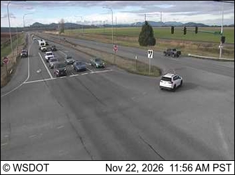
SR 20 at MP 54.5: Best Rd / Farm to Market Rd
SR 20 at MP 54.5: Best Rd / Farm to Market Rd · 2 km ›

No reports in the last 3 days.

Trail updates are public. The summary uses the last 6 hours (trail state the last 3 days); older reports stay in the history so seasons can be compared. Times are Pacific. Something wrong on this page? Suggest a correction.