Manzanita Trail
Moderate · Out-and-back · 8 mi round trip · 158 ft gain · 2¼–3¼ hr
Parkingnot reported today
A solid half-day for most hikers.
No hiker reports in the last 3 days. Be the first to report here
At this trail
Pack it out.
Getting there
Starts at Manzanita Trailhead
Navigate to the trailhead: Google Maps · Apple Maps · coordinates 48.07581, -122.99348
Right now
⚠ SR 116 is closed to all travelers between Shotwell Place and Chimacum Creek Drive. The highway will remain closed around the clock through the end of October. DWSDOT · 17 km · Aug 24 · details ›
Daylight7:28 am 6:27 pm
Air qualityAQI 29 Good
WildfireRiver fire, 38 km away
Snow0″ snow at Dungeness (3,990 ft, 23.5 km away)
Typical year: normally snow-free now · usually melted out by about Apr 30 · typical peak Mar 15
Typical year: normally snow-free now · usually melted out by about Apr 30 · typical peak Mar 15
Cameras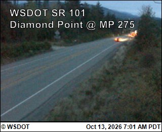
US 101 at MP 274.6: Diamond Point · 4 km › 
Jefferson County International Airport North · 14 km ›
No reports in the last 3 days.
All conditions and reports at Manzanita Trailhead
Something wrong on this page? Suggest a correction.