⚠ SR 116 is closed to all travelers between Shotwell Place and Chimacum Creek Drive. The highway will remain closed around the clock through the end of October. DWSDOT · 17 km · Aug 24 · details ›
Snow0″ snow at Dungeness (3,990 ft, 23.5 km away) Typical year: normally snow-free now · usually melted out by about Apr 30 · typical peak Mar 15
Cameras
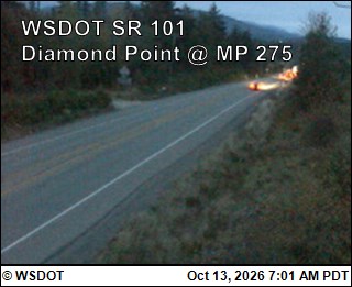
US 101 at MP 274.6: Diamond Point · 4 km ›Jefferson County International Airport North · 14 km ›
No reports in the last 3 days.
Reports are anonymous. The summary uses the last 6 hours (trail state the last 3 days); older reports stay in the history so seasons can be compared. Times are Pacific. Something wrong on this page? Suggest a correction.