Washington Trail Conditions

← All trailheads · Snoqualmie Pass / I-90

Rattlesnake Mountain Trailhead

4 trails start here · Snoqualmie Pass / I-90

EF
Parkingnot reported today
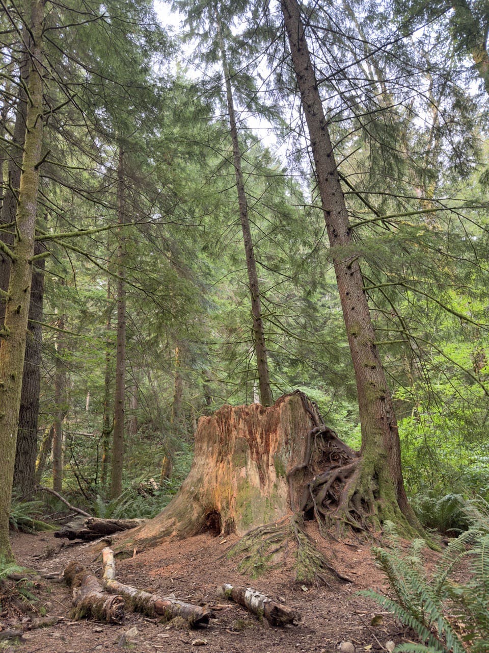
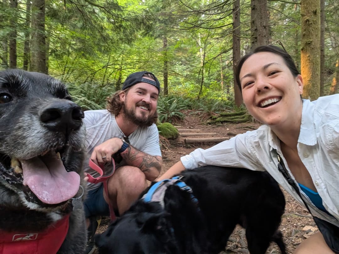
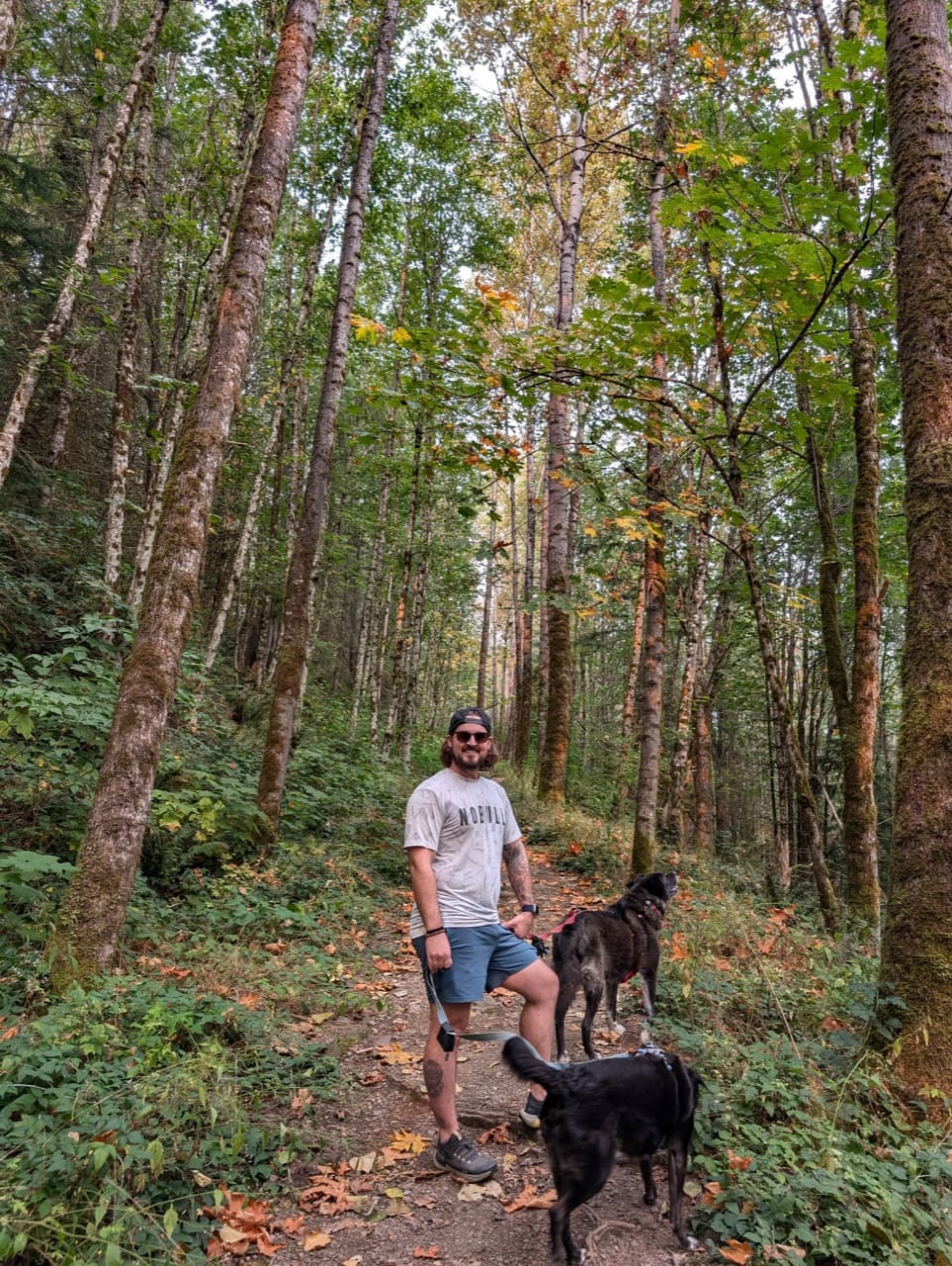
September 2024Photo: Jesse (site owner)September 2024Photo: Jesse (site owner)September 2024Photo: Jesse (site owner)

No hiker reports in the last 3 days. Be the first to report here

Open in the app (live map, alerts, offline maps)

At this trailhead

Discover Pass Toilets

Pack it out.

Official pageDNR ›
NoteWashington DNR, Raging River State Forest: Snoqualmie Point Trailhead, I-90 exit 27, turn right, 0.25 mile
Notea 17-mile mountain-bike-oriented single-track system with opportunities for hikers, plus the hiker-only Rattlesnake Mountain Trail
Noteday use only
Notedogs on leash
NoteDiscover Pass

Getting there

Navigate to: Google Maps · Apple Maps · coordinates 47.50922, -121.84418

Trails from this trailhead

Right now

Post an update here

TodayAM45°31%
TonightPM36°29%
MonAM46°71%
MonPM40°70%
TueAM46°73%
TuePM41°79%
WedAM51°67%
WedPM43°97%

Chance Light Rain, wind 0 to 6 mph · Full forecast ›

Daylight7:22 am 4:24 pm
Air qualityAQI 16 Good
WildfireKing fire, 44 km away, 3,427 acres, 95% contained
Snow0″ snow at Skookum Creek (3,320 ft, 26.2 km away)
Typical year: snowpack 29% of normal for the date · usually melted out by about May 26 · typical peak Apr 8
Snow levelabout 2,300 ft now · 2,300–5,900 ft over the next three days
PassSnoqualmie Pass I-90 35 km
Eastbound: No restrictions · Westbound: No restrictions · Bare and dry, wet in places · 31°F · pass report ›
Cameras
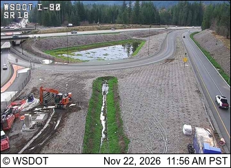
I-90 at MP 25.68: SR 18 Interchange
I-90 at MP 25.68: SR 18 Interchange · 3 km ›
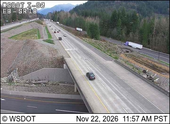
I-90 at MP 25.66: Eastbound at SR 18
I-90 at MP 25.66: Eastbound at SR 18 · 3 km ›

No reports in the last 3 days.

Trail updates are public. The summary uses the last 6 hours (trail state the last 3 days); older reports stay in the history so seasons can be compared. Times are Pacific. Something wrong on this page? Suggest a correction.